Argyle, Iowa
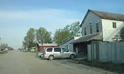
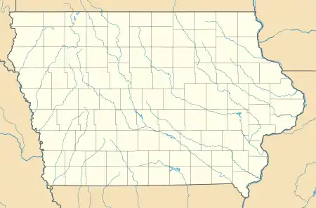
Argyle is an unincorporated community in southwestern Lee County, Iowa, United States. As of the 2020 census, its population was 91. [2]
Argyle, Iowa | |
|---|---|
 | |
  Argyle Location in Iowa  Argyle Location in the United States | |
| Coordinates: 40°31′54″N 91°33′59″W | |
| Country | United States |
| State | Iowa |
| County | Lee |
| Elevation | 679 ft (207 m) |
| Population (2020) | |
| • Total | 91 |
| Time zone | UTC-6 (Central (CST)) |
| • Summer (DST) | UTC-5 (CDT) |
| ZIP codes | 52619 |
| Area code(s) | 319 |
| GNIS feature ID | 454227[1] |
It lies along the concurrent Iowa Highways 27 and 394 southwest of the city of Fort Madison, the county seat of Lee County.[3] Its elevation is 679 feet (207 m).[1] Although Argyle is unincorporated, it has a post office, with the ZIP code of 52619,[4] which opened on 1888-03-15.[5] The community is part of the Fort Madison–Keokuk, IA-MO Micropolitan Statistical Area.
The Central Lee Community School District serves the community.[6]
References
- "Argyle, Iowa". Geographic Names Information System. United States Geological Survey.
- "2020: DEC Redistricting Data (PL 94-171)". United States Census Bureau. Retrieved November 17, 2021.
- Rand McNally. The Road Atlas '08. Chicago: Rand McNally, 2008, p. 39.
- Zip Code Lookup Archived June 15, 2011, at the Wayback Machine
- U.S. Geological Survey Geographic Names Information System: Argyle Post Office
- "About Central Lee". Central Lee Community School District. Retrieved 2018-09-16.
Municipalities and communities of Lee County, Iowa, United States | ||
|---|---|---|
| Cities | 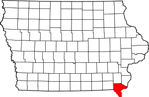 | |
| Townships | ||
| CDPs | ||
| Other communities | ||
| ||
This article is issued from Wikipedia. The text is licensed under Creative Commons - Attribution - Sharealike. Additional terms may apply for the media files.