Sandusky, Iowa
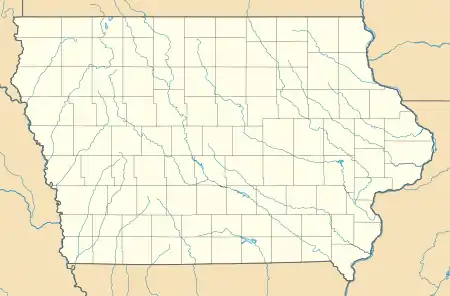
Sandusky is an unincorporated community and census-designated place (CDP) in Lee County, Iowa, United States. It is in the southeast part of the county, on the west bank of the Mississippi River 4 miles (6 km) north of Keokuk, the county seat, and 6 miles (10 km) south of Montrose.
Sandusky, Iowa | |
|---|---|
  Sandusky  Sandusky | |
| Coordinates: 40°27′52″N 91°23′13″W | |
| Country |  United States United States |
| State | Iowa |
| County | Lee |
| Townships | Jackson Montrose |
| Area | |
| • Total | 6.91 km2 (2.67 sq mi) |
| • Land | 3.69 km2 (1.42 sq mi) |
| • Water | 3.22 km2 (1.24 sq mi) |
| Elevation | 166 m (543 ft) |
| Population (2020) | 297 |
| Time zone | UTC-6 (Central (CST)) |
| • Summer (DST) | UTC-5 (CDT) |
| ZIP Code | 52632 (Keokuk) |
| Area code(s) | 319 |
| FIPS code | 19-70545 |
| GNIS feature ID | 2804144[2] |
Sandusky was first listed as a CDP prior to the 2020 census. As of the 2020 census, its population was 297. [3]
References
- "2020 U.S. Gazetteer Files – Iowa". United States Census Bureau. Retrieved May 11, 2021.
- "Sandusky Census Designated Place". Geographic Names Information System. United States Geological Survey.
- "2020: DEC Redistricting Data (PL 94-171)". United States Census Bureau. Retrieved November 18, 2021.
- Cram's Modern Atlas: The New Unrivaled New Census Edition. J. R. Gray & Company. 1902. pp. 203–207.
- Company, Rand McNally and (1925). Premier Atlas of the World: Containing Maps of All Countries of the World, with the Most Recent Boundary Decisions, and Maps of All the States,territories, and Possessions of the United States with Population Figures from the Latest Official Census Reports, Also Data of Interest Concerning International and Domestic Political Questions. Rand McNally & Company. p. 190.
Municipalities and communities of Lee County, Iowa, United States | ||
|---|---|---|
| Cities | 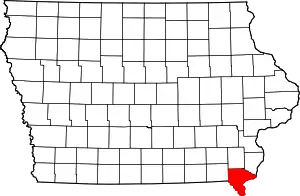 | |
| Townships | ||
| CDPs | ||
| Other communities | ||
| ||
This article is issued from Wikipedia. The text is licensed under Creative Commons - Attribution - Sharealike. Additional terms may apply for the media files.