Grygov
Grygov is a municipality and village in Olomouc District in the Olomouc Region of the Czech Republic. It has about 1,500 inhabitants.
Grygov | |
|---|---|
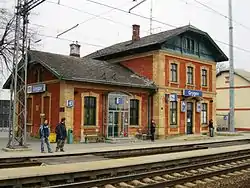 Train station | |
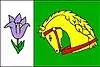 Flag 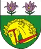 Coat of arms | |
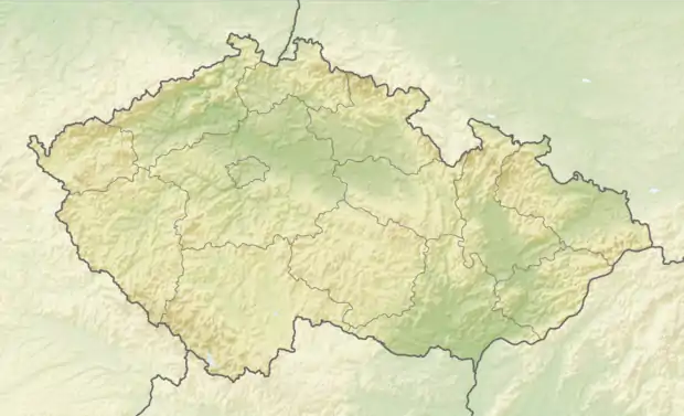  Grygov Location in the Czech Republic | |
| Coordinates: 49°32′16″N 17°18′39″E | |
| Country |  Czech Republic Czech Republic |
| Region | Olomouc |
| District | Olomouc |
| First mentioned | 1306 |
| Area | |
| • Total | 12.72 km2 (4.91 sq mi) |
| Elevation | 206 m (676 ft) |
| Population (2020-01-01[1]) | |
| • Total | 1,539 |
| • Density | 120/km2 (310/sq mi) |
| Time zone | UTC+1 (CET) |
| • Summer (DST) | UTC+2 (CEST) |
| Postal code | 783 73 |
| Website | www |
Geography
Grygov lies approximately 9 kilometres (6 mi) south-east of Olomouc and 217 km (135 mi) east of Prague. Grygov lies on the Morava River. Near Grygov is a food-plain forest, protected by law as nature reserve Království and containing an oak-tree called Král ("The King"), which is about 400 years old.[2]
The highest points of the municipality are hills Horka (253 m above sea-level) and Chrášť (247 m).
History
The first written mention of Grygov is from 1306.[3]
Economy
Farming is an important source of employment in the municipality.
Transport
Public transport in Grygov is provided by train and bus.
Notable people
- Jan Šrámek (1870–1956), politician, Prime Minister and Roman Catholic Monsignore
References
- "Population of Municipalities – 1 January 2020". Czech Statistical Office. 2020-04-30.
- "Přírodní rezervaci Království u Grygova vládne 400 let starý dub Král" (in Czech). Český rozhlas Olomouc. 2020-04-06. Retrieved 2020-11-18.
- "Historie obce" (in Czech). Obec Grygov. Retrieved 2020-11-18.
 |
Wikimedia Commons has media related to Grygov. |
Authority control: National libraries  |
|---|
This article is issued from Wikipedia. The text is licensed under Creative Commons - Attribution - Sharealike. Additional terms may apply for the media files.