Havranec
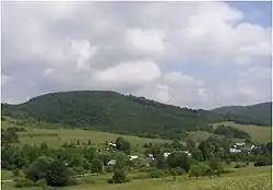
Havranec (Rusyn: Гавранець, Hungarian: Kishollód) is a village and municipality in Svidník District in the Prešov Region of north-eastern Slovakia.
Havranec | |
|---|---|
Municipality | |
 | |
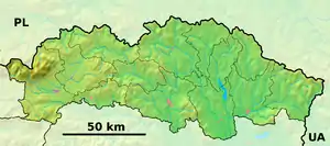  Havranec Location of Havranec in the Prešov Region 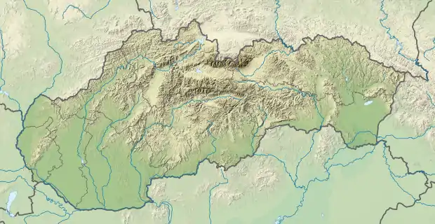 Havranec Location of Havranec in Slovakia | |
| Coordinates: 49°25′N 21°33′E | |
| Country |  Slovakia Slovakia |
| Region | Prešov |
| District | Svidník |
| First mentioned | 1618 |
| Area | |
| • Total | 7.643 km2 (2.951 sq mi) |
| Elevation | 375 m (1,230 ft) |
| Population | |
| • Total | 10 |
| • Density | 1.3/km2 (3.4/sq mi) |
| Time zone | UTC+1 (CET) |
| • Summer (DST) | UTC+2 (CEST) |
| Postal code | 090 02 (pošta Kružlová) |
| Area code(s) | 421–54 |
| Car plate | SK |
| Website | havranec |
History
In historical records the village was first mentioned in 1618.
Geography
The municipality lies at an altitude of 375 metres and covers an area of 7.643 km2 (2.95 sq mi). It has a population of about 10 people.
Genealogical resources
The records for genealogical research are available at the state archive "Statny Archiv in Presov, Slovakia"
- Greek Catholic church records (births/marriages/deaths): 1862-1895 (parish B)
External links
 Media related to Havranec at Wikimedia Commons
- Official website

- http://www.statistics.sk/mosmis/eng/run.html
- Surnames of living people in Havranec
This article is issued from Wikipedia. The text is licensed under Creative Commons - Attribution - Sharealike. Additional terms may apply for the media files.