Kolenchery
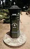
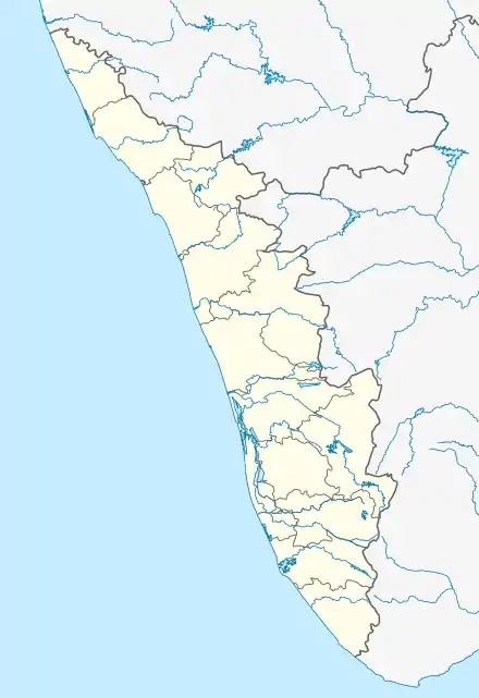
Kolenchery is a town and the easternmost suburb of the city of Kochi in Kerala, India. Located on National Highway 49 (NH 49) it is situated 22 kilometres away from Cochin. It is part of the Kunnathunad State Assembly constituency and is part of the Chalakudy Lok Sabha constituency. Kolenchery is situated approximately midway between Cochin and Muvattupuzha. It lies in the transition between "Edanad" (midlands) and "Keezhmalanad" (higher midlands).
Kolenchery | |
|---|---|
Suburb | |
 Kolenchery church | |
  Kolenchery Location in Kerala, India 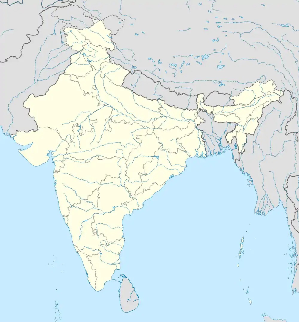 Kolenchery Kolenchery (India) | |
| Coordinates: 9.982968°N 76.476388°E | |
| Country |  India India |
| State | Kerala |
| District | Ernakulam |
| Government | |
| • Body | Aikkaranadu/Poothrikka Panchayats |
| Languages | |
| • Official | Malayalam, English |
| Time zone | UTC+5:30 (IST) |
| PIN | 682311 |
| Telephone code | 0484 |
| Vehicle registration | KL-17 |
| Nearest city | Kochi |
| Lok Sabha constituency | Chalakudy |
| Civic agency | Aikkaranadu/Poothrikka Panchayats |
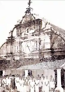
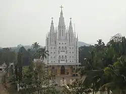
St. Peter's and St. Paul's Orthodox Church, Kolenchery is an ancient and historic church at Kolenchery, built by Thankan Mappila of the Kolenchery family in the 6th century. The name Kolenchery is derived from the place Kozhenchery in Pathanamthitta from where Thankan Mappila had migrated.[1] Kolenchery is a Syrian Christian with the Jacobites faction being the majority than the Malankara Orthodox Syrian Church faction. St Peter's College in the town has conducted botanical research.[2]
Location
| |||||||||||||||||||


References
- Kerala (India); A. Sreedhara Menon (1982). Kerala District Gazetteers: Arnakulam. printed by the Superintendent of Govt. Presses. Retrieved 18 March 2011.
- Indian National Scientific Documentation Centre (2008). Indian science abstracts. Indian National Scientific Documentation Centre. Retrieved 18 March 2011.
External links
 |
Wikimedia Commons has media related to Kolenchery. |