Böyük Tağlar
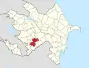
Böyük Tağlar (Boyuk Taghlar) or Mets Tagher (Armenian: Մեծ Թաղեր) is a village in the Khojavend District of Azerbaijan. The Taghlar Cave is located in the southern part of the village. The village had an ethnic Armenian-majority population prior to the 2020 Nagorno-Karabakh war, and also had an Armenian majority in 1989.[2]
Boyuk Taghlar / Mets Tagher
Böyük Tağlar / Մեծ Թաղեր | |
|---|---|
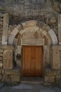 A church in the village | |
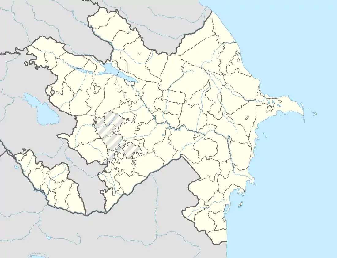  Boyuk Taghlar / Mets Tagher 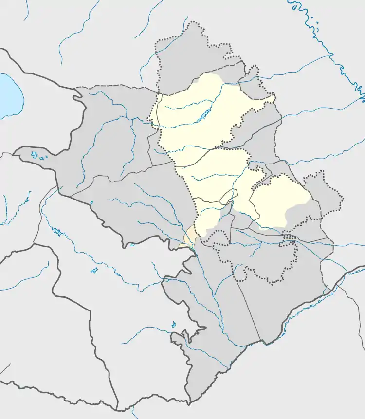 Boyuk Taghlar / Mets Tagher | |
| Coordinates: 39°37′06″N 46°57′17″E | |
| Country |  Azerbaijan Azerbaijan
 Republic of Artsakh (claimed) Republic of Artsakh (claimed) |
| District | Khojavend |
| Elevation | 900 m (3,000 ft) |
| Population (2015)[1] | |
| • Total | 1,509 |
| Time zone | UTC+4 (AZT) |
Toponymy
The village was known as Mets Taghlar (Armenian: Մեծ Թաղլար; Russian: Мец Тагла́р; Azerbaijani: Mets Tağlar) during the Soviet period.[3]
History
During the Soviet period, the village was a part of the Hadrut District of the Nagorno-Karabakh Autonomous Oblast.
The village was captured by Armenian forces on October 2, 1992, during the First Nagorno-Karabakh War and was administrated as part of the Hadrut Province of the self-proclaimed Republic of Artsakh. The village had 1,503 inhabitants in 2005.[4] The village was captured by Azerbaijan on 9 November 2020 during the 2020 Nagorno-Karabakh war.[5]
In early May 2021, satellite images released by Caucasus Heritage Watch, a watchdog group made up of researchers from Purdue and Cornell, revealed that the local early 19th-century Armenian cemetery had been destroyed by Azerbaijani forces. Bulldozer tracks near the vicinity of the village's Holy All-Savior's Church, founded in 1846, indicated that that building was also endangered.[6]
Satellite photography from July 2021 reveals the centre of the town and a large portion of the towns buildings have been bulldozed for the construction of the Fizuli-Shusha highway.
Gallery
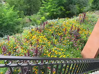 Flowers in the village
Notable natives
References
- Hakob Ghahramanyan. "Directory of socio-economic characteristics of NKR administrative-territorial units (2015)".
- Андрей Зубов. "Андрей Зубов. Карабах: Мир и Война". drugoivzgliad.com.
- Landmine Mapper. "Azerbaijan (& Nagorno Karabakh) Topographic Map 1:200,000 Russian Soviet Military". GigaPan.
- "The Results of the 2005 Census of the Nagorno-Karabakh Republic" (PDF). National Statistic Service of the Republic of Artsakh.
- Archived at Ghostarchive and the Wayback Machine: "Xocavənd rayonunun Böyük Tağlar kəndindən videogörüntülər". YouTube.
- "ALERT: An Armenian cemetery in the village of Mets Tagher/Böyük Tağlar was recently destroyed...." Twitter. 4 May 2021.
External links
 |
Wikimedia Commons has media related to Böyük Tağlar. |