Padre Burgos Avenue
Padre Burgos Avenue, also known as Padre Burgos Street, is a 14-lane thoroughfare in Manila, Philippines.
.svg.png.webp) .svg.png.webp) C-1 | |||
|---|---|---|---|
| Padre Burgos Street | |||
(2017-06-12).jpg.webp) Padre Burgos Avenue with the National Museum of Fine Arts (right) and the Manila City Hall (background) | |||
| Former name(s) | Paseo de Bagumbayan[1] | ||
| Part of | |||
| Namesake | Jose Burgos | ||
| Maintained by | Department of Public Works and Highways - South Manila District Engineering Office[2] | ||
| Length | 1.5 km[3] (0.9 mi) | ||
| Location | Manila | ||
| North end | Junctions of the MacArthur, Jones, and Quezon Bridges in Ermita | ||
| Major junctions |
| ||
| South end |
_sign.svg.png.webp) AH 26 (N120) (Bonifacio Drive and Roxas Boulevard) in Ermita and Intramuros AH 26 (N120) (Bonifacio Drive and Roxas Boulevard) in Ermita and Intramuros | ||
.svg.png.webp)
The road was named after one of the martyred priests, Jose Burgos, who was executed at the nearby Bagumbayan Field (present-day Rizal Park). It is a road in the center of the city providing access to several important thoroughfares like Taft Avenue, Rizal Avenue, Roxas Boulevard, and Quezon Boulevard. The avenue is a component of Circumferential Road 1 (C-1) of Manila's highway system and National Route 150 (N150) and National Route 170 (N170) of the Philippine highway network. The Manila City Hall can be accessed using this road, as can the Rizal Park and Intramuros.
The road starts from the southern banks of the Pasig River at Liwasang Bonifacio, where MacArthur Bridge, Jones Bridge, and Quezon Bridge merge. It continues south and it will branch to two, Taft Avenue and itself when it reaches Rizal Park. It will then turn sharply right, intersecting with Finance Drive, the major thoroughfare of Rizal Park which leads to Ayala Boulevard and eventually to Mendiola Street, therefore the other parts of the C-1. Padre Burgos Avenue ends with a junction with Roxas Boulevard, Bonifacio Drive, and Katigbak Drive.
Landmarks
Starting from the northern terminus, the road passes the following:
References
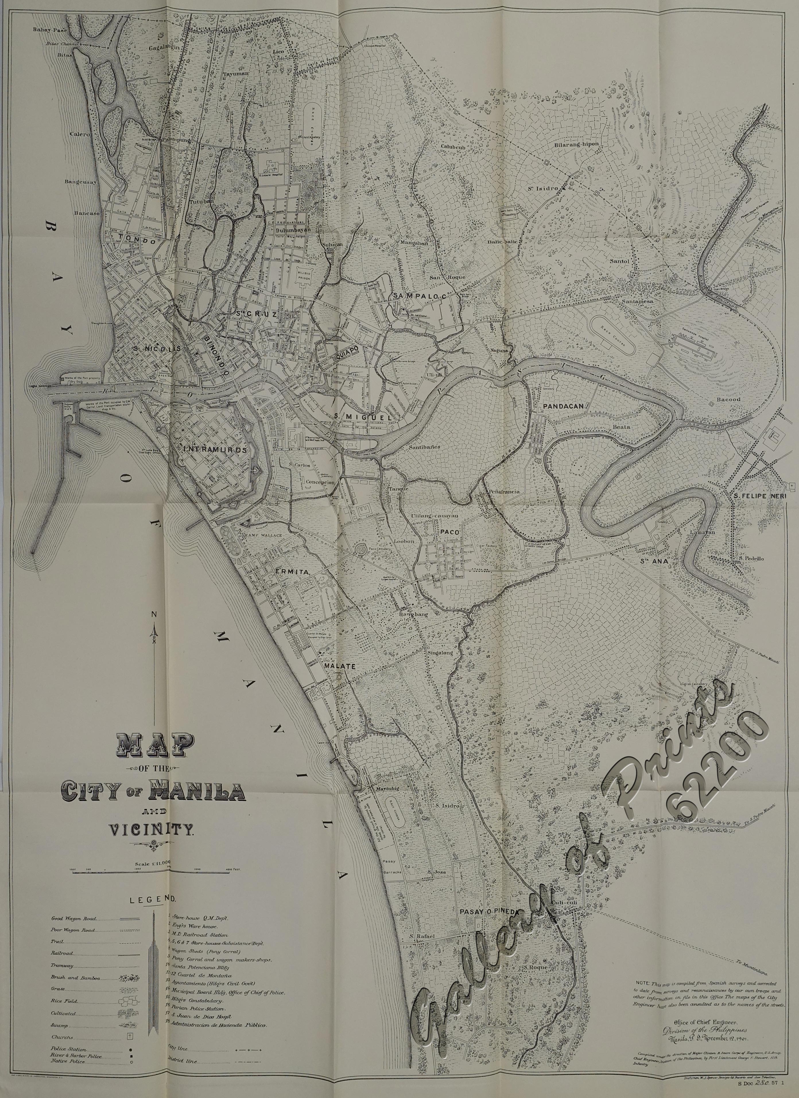
- Map of the City of Manila and Vicinity (Map). 1:11000. Office of Chief Engineers , Division of the Philippines. November 12, 1901. Retrieved November 27, 2021.
- "Road and Bridge Inventory". Department of Public Works and Highways. Retrieved August 6, 2020.
- "Padre Burgos Avenue southbound". Google Maps. Retrieved December 13, 2015.
External links
 Media related to Padre Burgos Avenue at Wikimedia Commons