Pelican Narrows, Alberta
Pelican Narrows is a summer village in Alberta, Canada. Located on the western shore of Moose Lake, south of Moose Lake Provincial Park, it is connected to Bonnyville by Highway 28.
Pelican Narrows | |
|---|---|
| Summer Village of Pelican Narrows | |
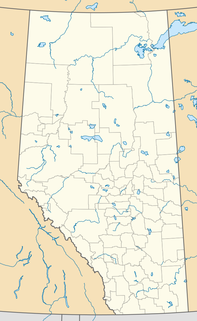  Location of Pelican Narrows in Alberta | |
| Coordinates: 54.25002°N 110.88329°W | |
| Country | Canada |
| Province | Alberta |
| Census division | No. 12 |
| Government | |
| • Type | Municipal incorporation |
| • Mayor | Robert Hornseth |
| • Governing body | Pelican Narrows Summer Village Council |
| Area (2016)[1] | |
| • Land | 0.72 km2 (0.28 sq mi) |
| Population (2016)[1] | |
| • Total | 151 |
| • Density | 208.4/km2 (540/sq mi) |
| Time zone | UTC−7 (MST) |
| • Summer (DST) | UTC−6 (MDT) |
| Website | pelicannarrowsab |
Demographics
In the 2016 Census of Population conducted by Statistics Canada, the Summer Village of Pelican Narrows recorded a population of 151 living in 54 of its 65 total private dwellings, a -6.8% change from its 2011 population of 162. With a land area of 0.72 km2 (0.28 sq mi), it had a population density of 209.7/km2 (543.2/sq mi) in 2016.[1]
In the 2011 Census, the Summer Village of Pelican Narrows had a population of 162 living in 57 of its 62 total dwellings, a 14.9% change from its 2006 population of 141. With a land area of 0.7 km2 (0.27 sq mi), it had a population density of 231.4/km2 (599.4/sq mi) in 2011.[2]
See also
References
- "Population and dwelling counts, for Canada, provinces and territories, and census subdivisions (municipalities), 2016 and 2011 censuses – 100% data (Alberta)". Statistics Canada. February 8, 2017. Retrieved February 8, 2017.
- "Population and dwelling counts, for Canada, provinces and territories, and census subdivisions (municipalities), 2011 and 2006 censuses (Alberta)". Statistics Canada. 2012-02-08. Retrieved 2012-02-08.
External links


.svg.png.webp)
