Probolinggo
Probolinggo (Indonesian: Kota Probolinggo, Javanese: ꦥꦿꦧꦭꦶꦁꦒ) is a city on the north coast of East Java province, Indonesia. It covers an area of 56.67 sq. km, and had a population of 217,062 at the 2010 Census[4] and 239,649 at the 2020 Census.[5] It is surrounded on the landward side by Probolinggo Regency of which it was formerly the capital, but it is now not part of the regency.
Probolinggo
ꦥꦿꦧꦭꦶꦁꦒ | |
|---|---|
| City of Probolinggo Kota Probolinggo | |
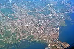 Aerial view of Probolinggo, 2015. | |
 Coat of arms | |
| Nickname(s): Kota Anggur (City of Grapes) | |
| Motto(s): Tri Karsa Bina Praja (Developing the city by Three Means) | |
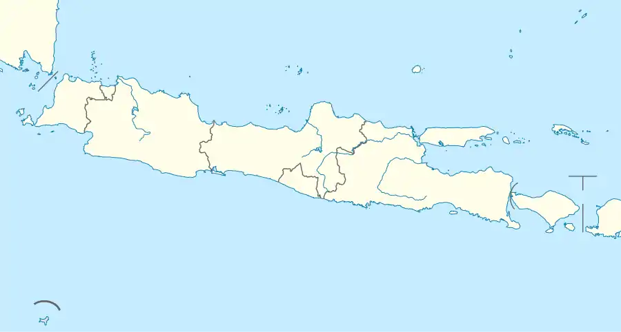
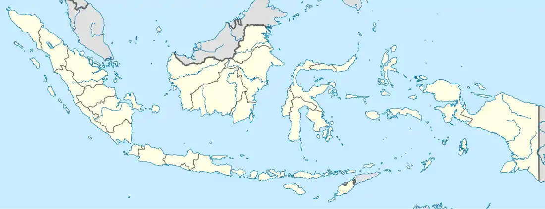
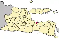 Location within East Java | |
| Coordinates: 7°45′S 113°13′E | |
| Country |  Indonesia Indonesia |
| Province |  East Java East Java |
| Settled | 4 September 1359[1] |
| Gementee | 1 July 1918[2] |
| Government | |
| • Mayor | Rukmini Buchori |
| • Vice Mayor | Muhammad Suhadak |
| Area | |
| • Total | 56.67 km2 (21.88 sq mi) |
| Elevation | 25 m (82 ft) |
| Population (2020 Census) | |
| • Total | 239,649 |
| • Rank | 48 |
| • Density | 4,200/km2 (11,000/sq mi) |
| [3] | |
| Time zone | UTC+7 (Indonesia Western Time) |
| Postcode | 6xxxx |
| Area code | (+62) 335 |
| Vehicle registration | N |
| Website | probolinggokota.go.id |

.jpg.webp)

Like most of northern East Java, the city has a large Madurese population in addition to many ethnically Javanese people. It is located on one of the major highways across Java, and has a harbor that is heavily used by fishing vessels.
Under the Dutch East Indies colonial administration, especially in the 19th century, Probolinggo was a lucrative regional center for refining and exporting sugar, and sugar remains an important product of the area.
The city is famous for its mangoes, locally called mangga manalagi. Strong dry-season winds from July to September, the angin gending, help the mango trees pollinate and are sometimes credited with being the source of the area's quality fruit. The city formerly produced grapes as well, but few grapes are grown in the area now.
The motto of the city is Bestari which is an abbreviation of bersih (cleanliness), sehat (healthy), tertib (orderly), aman (safe), rapi (neat), and indah (beautiful).
Administrative districts
Probolinggo city consists of five districts (kecamatan), tabulated below with their areas and population totals from the 2010 Census[6] and the 2020 Census.[7] The table also includes the number of administrative villages (urban kelurahan) in each district, and its postal codes.
| Name | Area in km2 | Population Census 2010[8] | Population Census 2020[9] | Number of villages | Post codes |
|---|---|---|---|---|---|
| Mayangan | 8.66 | 60,446 | 61,770 | 5 | 67216 - 67219 |
| Kanigaran | 10.65 | 54,604 | 60,230 | 6 | 67221 - 67225 |
| Kademangan | 12.75 | 39,920 | 44,620 | 6 | 67221 - 67226 |
| Kedopok | 13.62 | 30,404 | 37,820 | 6 | 67227 - 67239 |
| Wonoash | 10.98 | 31,688 | 55,210 | 6 | 67232 - 67239 |
| Totals | 56.67 | 217,062 | 239,649 | 29 |
Transportation
Probolinggo is a hub city where its main road connect three major city in East java, Surabaya to the west (through Pasuruan and Sidoarjo), Jember to the south through Lumajang, and Banyuwangi to the east through Situbondo. Public buses to many major cities are available in Banyuangga bus terminal.
Since 2019, the Trans-java toll road has been completed and provide faster route to the capital Jakarta, which cuts down travel time significantly to only 9 to 10 hour drive from previously 16 to 20 hours.
Bus
The city (and the regency) is served by Bayuangga bus station that covers routes to Surabaya, Malang, and Jember.
Railway
The city is served by Probolinggo railway station that covers most routes to major cities in Java. However there are no direct train to the capital Jakarta. Travelers to Jakarta have to transit either Surabaya or Yogyakarta.
Air
There is no air route to the city. The closest airport is the Juanda International Airport in Surabaya, which is a less than 2 hour drive through newly completed toll road.
Climate
Probolinggo has a tropical savanna climate (Aw) with heavy rainfall December to March and moderate to little rainfall from April to November.
| Climate data for Probolinggo | |||||||||||||
|---|---|---|---|---|---|---|---|---|---|---|---|---|---|
| Month | Jan | Feb | Mar | Apr | May | Jun | Jul | Aug | Sep | Oct | Nov | Dec | Year |
| Average high °C (°F) | 32.2 (90.0) |
32.0 (89.6) |
32.0 (89.6) |
32.0 (89.6) |
31.8 (89.2) |
31.8 (89.2) |
31.7 (89.1) |
32.3 (90.1) |
33.1 (91.6) |
33.6 (92.5) |
33.4 (92.1) |
32.5 (90.5) |
32.4 (90.3) |
| Daily mean °C (°F) | 27.2 (81.0) |
27.1 (80.8) |
27.0 (80.6) |
26.8 (80.2) |
26.3 (79.3) |
25.7 (78.3) |
25.1 (77.2) |
25.6 (78.1) |
26.4 (79.5) |
27.1 (80.8) |
27.6 (81.7) |
27.2 (81.0) |
26.6 (79.9) |
| Average low °C (°F) | 22.2 (72.0) |
22.2 (72.0) |
22.0 (71.6) |
21.7 (71.1) |
20.9 (69.6) |
19.7 (67.5) |
18.6 (65.5) |
19.0 (66.2) |
19.7 (67.5) |
20.7 (69.3) |
21.8 (71.2) |
21.9 (71.4) |
20.9 (69.6) |
| Average rainfall mm (inches) | 242 (9.5) |
240 (9.4) |
198 (7.8) |
109 (4.3) |
80 (3.1) |
45 (1.8) |
19 (0.7) |
7 (0.3) |
7 (0.3) |
18 (0.7) |
75 (3.0) |
168 (6.6) |
1,208 (47.5) |
| Source: Climate-Data.org[10] | |||||||||||||
External links
 Probolinggo travel guide from Wikivoyage
- Probolinggo NGO
References
- Probolinggo, Kota. "Sejarah". portal.probolinggokota.go.id. Retrieved 2018-10-12.
- "Sejarah Gemeente Probolinggo Dalam Museum - ANTARA News Jawa Timur". Antara News (in Indonesian). Retrieved 2018-10-12.
- Badan Pusat Statistik, Jakarta, 2021.
- Biro Pusat Statistik, Jakarta, 2011.
- Badan Pusat Statistik, Jakarta, 2021.
- Biro Pusat Statistik, Jakarta, 2011.
- Badan Pusat Statistik, Jakarta, 2021.
- Biro Pusat Statistik, Jakarta, 2011.
- Badan Pusat Statistik, Jakarta, 2021.
- "Climate: Probolinggo". Climate-Data.org. Retrieved 15 November 2020.
| 2,000,000 and more | |
|---|---|
| 1,000,000–1,999,999 | |
| 500,000–999,999 | |
| 200,000–499,999 | |
Authority control  | |
|---|---|
| General | |
| National libraries | |
| Other | |