Vyšný Hrušov
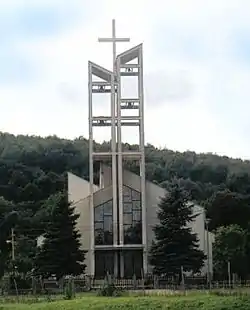
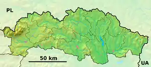
Vyšný Hrušov is a village and municipality in Humenné District in the Prešov Region of north-east Slovakia, on the southern edge of the Laborec Highlands.
Vyšný Hrušov | |
|---|---|
Municipality | |
 | |
  Vyšný Hrušov Location of Vyšný Hrušov in the Prešov Region 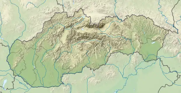 Vyšný Hrušov Location of Vyšný Hrušov in Slovakia | |
| Coordinates: 49°00′N 22°00′E | |
| Country |  Slovakia Slovakia |
| Region | Prešov |
| District | Humenné |
| First mentioned | 1543 |
| Area | |
| • Total | 11.36 km2 (4.39 sq mi) |
| Elevation | 196 m (643 ft) |
| Population (31 December 2004) | |
| • Total | 467 |
| • Density | 41/km2 (110/sq mi) |
| Time zone | UTC+1 (CET) |
| • Summer (DST) | UTC+2 (CEST) |
| Postal code | 067 32 |
| Area code(s) | +421-57 |
| Car plate | HE |
| Website | sites |
History
In historical records the village was first mentioned in 1543.
Geography
The municipality lies at an altitude of 186 metres and covers an area of 11.361 km2. It has a population of about 465 people.
External links
 Media related to Vyšný Hrušov at Wikimedia Commons
- Official website

This article is issued from Wikipedia. The text is licensed under Creative Commons - Attribution - Sharealike. Additional terms may apply for the media files.