Závada, Humenné District
Závada is a village and municipality in Humenné District in the Prešov Region of north-east Slovakia.
Závada | |
|---|---|
Municipality | |
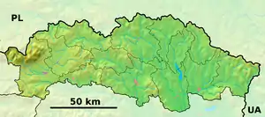  Závada Location of Závada in the Prešov Region 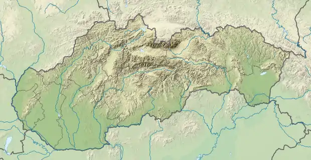 Závada Location of Závada in Slovakia | |
| Coordinates: 49°10′22″N 21°47′07″E | |
| Country |  Slovakia Slovakia |
| Region | Prešov |
| District | Humenné |
| First mentioned | 1454 |
| Area | |
| • Total | 9.033 km2 (3.488 sq mi) |
| Elevation | 230 m (750 ft) |
| Population | |
| • Total | 81 |
| • Density | 9.0/km2 (23/sq mi) |
| Time zone | UTC+1 (CET) |
| • Summer (DST) | UTC+2 (CEST) |
| Postal code | 094 08 (pošta Ruská Poruba) |
| Area code(s) | 421-57 |
| Car plate | HE |
| Website | obeczavada |
History
In historical records the village was first mentioned in 1454.
Geography
The municipality lies at an altitude of 230 metres and covers an area of 9.033 km². It has a population of about 81 people.
External links
Authority control  |
|---|
This article is issued from Wikipedia. The text is licensed under Creative Commons - Attribution - Sharealike. Additional terms may apply for the media files.