Vrbno pod Pradědem
Vrbno pod Pradědem (Czech pronunciation: [ˈvr̩bno ˈpotpraɟɛdɛm]; German: Würbenthal) is a town in the Bruntál District in the Moravian-Silesian Region of the Czech Republic. It has about 5,000 inhabitants. It is located on the Opava River. Vrbno pod Pradědem and Prudnik are headquarters of the Euroregion Praděd.[2]
Vrbno pod Pradědem | |
|---|---|
Town | |
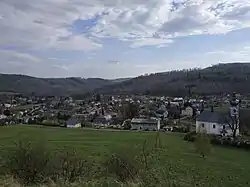 Panorama of Vrbno pod Pradědem | |
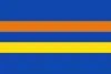 Flag 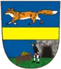 Coat of arms | |
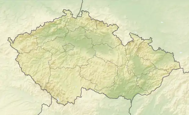  Vrbno pod Pradědem Location in the Czech Republic | |
| Coordinates: 50°7′15″N 17°23′0″E | |
| Country |  Czech Republic Czech Republic |
| Region | Moravian-Silesian |
| District | Bruntál |
| First mentioned | 1310 |
| Government | |
| • Mayor | Petr Kopínec (ANO) |
| Area | |
| • Total | 68.91 km2 (26.61 sq mi) |
| Elevation | 545 m (1,788 ft) |
| Population (2020-01-01[1]) | |
| • Total | 4,995 |
| • Density | 72/km2 (190/sq mi) |
| Time zone | UTC+1 (CET) |
| • Summer (DST) | UTC+2 (CEST) |
| Postal code | 793 26 |
| Website | www |
Administrative parts
Villages and hamlets of Bílý Potok, Mnichov, Vidly and Železná are administrative parts of Vrbno pod Pradědem.
History
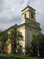
The first settlement, which later became Vrbno pod Pradědem, was founded in the 13th century, the first mention in a written document is from 1310. The village grew thanks to gold and metal mining. Vrbno pod Pradědem became a town in 1611.[3]
Along with the Kingdom of Bohemia (Czechia), from 1804 it was ruled by the Austrian Empire, and after the compromise of 1867 it was part of the Austrian portion of Austria-Hungary, administratively located in the Freudenthal (Bruntál District), one of the 8 Bezirkshauptmannschaften in Austrian Silesia.[4] According to the census of 1910 the town had 3,614 inhabitants, 3,519 of whom had permanent residence there. The census questioned also the native language: 3,519 (100%) were German-speaking. Most populous religious groups were Roman Catholics with 3,293 (91.1%), followed by Protestants with 307 (8.5%).[5] Following World War I, since 1918, it was part of newly independent Czechoslovakia.
From 1938, it was occupied by Germany and made one of the municipalities in Sudetenland. During World War II, the Germans operated the E791 forced labour subcamp of the Stalag VIII-B/344 prisoner-of-war camp in the town.[6] The German-speaking population was expelled in 1945 in accordance to the Potsdam Agreement and Beneš decrees, and replaced by Czech settlers. The population fell below 800. The village was renamed.
Notable people
- Johann Karl Nestler (1783–1842), Austrian scientist
References
- "Population of Municipalities – 1 January 2020". Czech Statistical Office. 2020-04-30.
- "EUREGIO PL-CZ". www.euroregions.org. Retrieved 2020-11-12.
- "Historie". vrbnopp.cz (in Czech). Město Vrbno pod Pradědem. Retrieved 2020-09-25.
- Die postalischen Abstempelungen auf den österreichischen Postwertzeichen-Ausgaben 1867, 1883 und 1890, Wilhelm Klein, 1967
- Ludwig Patryn (ed): Die Ergebnisse der Volkszählung vom 31. Dezember 1910 in Schlesien, Troppau 1912.
- "Working Parties". Lamsdorf.com. Archived from the original on 29 October 2020. Retrieved 12 November 2021.
- "Partnerské město". vrbnopp.cz (in Czech). Město Vrbno pod Pradědem. Retrieved 2020-09-25.
External links
 |
Wikimedia Commons has media related to Vrbno pod Pradědem. |
- (in Czech) Official website
- (in German) Historical website
Authority control  | |
|---|---|
| General | |
| National libraries | |