Kopali
Kopali (also spelled as Kapali) is a census town in the Chandil CD block in the Chandil subdivision of the Seraikela Kharsawan district in the Indian state of Jharkhand.
Kopali
Kapali | |
|---|---|
Census Town | |
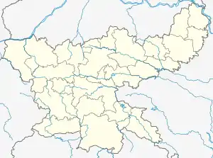  Kopali Location in Jharkhand, India 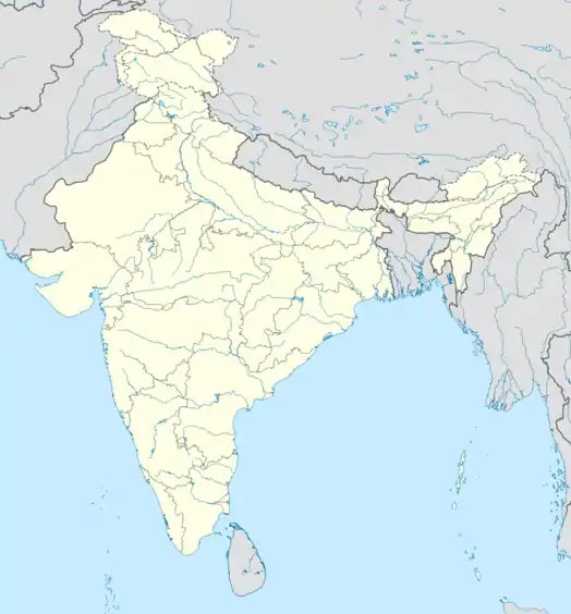 Kopali Kopali (India) | |
| Coordinates: 22.8380°N 86.1907°E | |
| Country |  India India |
| State | Jharkhand |
| District | Seraikela Kharsawan |
| Government | |
| • Type | Federal democracy |
| Area | |
| • Total | 6.74 km2 (2.60 sq mi) |
| Population (2011) | |
| • Total | 43,256 |
| • Density | 6,400/km2 (17,000/sq mi) |
| Languages* | |
| • Official | Hindi, Urdu |
| Time zone | UTC+5:30 (IST) |
| PIN | 832110 |
| Telephone/ STD code | 06597 |
| Vehicle registration | JH 22 |
| Literacy | 72.40% |
| Lok Sabha constituency | Ranchi |
| Vidhan Sabha constituency | Ichagarh |
| Website | seraikela |
Geography
M: municipality, R: rural/ urban centre, CT: census town, T: tourist centre
Owing to space constraints in the small map, the actual locations in a larger map may vary slightly
Location
Kapali is located at 22.8380°N 86.1907°E.
Area overview
The area shown in the map has been described as “part of the southern fringe of the Chotanagpur plateau and is a hilly upland tract”. 75.7% of the population lives in the rural areas and 24.3% lives in the urban areas.[1][2]
Note: The map alongside presents some of the notable locations in the district. All places marked in the map are linked in the larger full screen map.
Civic administration
There is a police outpost at Kapali.[3]
Demographics
According to the 2011 Census of India, Kopali had a total population of 43,256, of which 22,337 (52%) were males and 20,919 (48%) were females. Population in the age range 0-6 years was 7,603. The total number of literate persons in Kopali was 21,815 (72.40% of the population over 6 years).[4]
(*For language details see Chandil block#Language and religion)
Jamshedpur Urban Agglomeration includes: Jamshedpur (Industrial Town), Jamshedpur (NAC), Tata Nagar Railway Colony (OG), Mango (NAC), Jugsalai (M), Bagbera (CT), Chhota Gobindpur (CT), Haludbani (CT), Sarjamda (CT), Gadhra (CT), Ghorabandha (CT), Purihasa (CT), Adityapur (M Corp.), Chota Gamahria (CT) and Kapali (CT).[5]
Infrastructure
According to the District Census Handbook 2011, Seraikela Kharsawan, Kopali covered an area of 6.74 km2 (2.60 sq mi). It has an annual rainfall of 1,086.1 mm (42.76 in). Among the civic amenities, it had fifteen km (9.3 mi) of roads with both closed and open drains, the protected water supply involved hand pump, tube well/ borewell, overhead tank. It had 6,351 domestic electric connections, 15 road lighting points. Among the medical facilities, it had 2 hospitals, 4 dispensaries, 4 health centres, 10 family welfare centres, 4 maternity and child welfare centres, 10 maternity homes, 2 nursing homes, 2 charitable hospital/ nursing homes, 10 veterinary hospitals, 5 medicine shops. Among the educational facilities it had 8 primary schools, 7 middle schools, 2 secondary schools, 1 senior secondary school, the nearest general degree college at Jamshedpur, ten km (6.2 mi) away. It had 9 non-formal education centres (Sarva Shiksha Abhiyan). Among social, cultural and recreational facilities, it had 1 orphanage home, 2 auditorium/ community halls. Two important commodities it produced were ready-made clothes, furniture. It had the branch offices of 1 nationalised bank, 4 non-agricultural credit societies.[6]
Education
Merry English School at Kapali is an English-medium coeducational institution established in 2001. It has facilities for teaching from class I to class XII.[7]
References
- "Bihar District Gazetteers - Singhbhum" (PDF). P.C. Roy Chaudhury. Secretariat Press, Bihar, Patna, 1958. Retrieved 2 December 2021.
- "District Census Handbook, Seraikella Kharsawan, Series 21, Part XII A" (PDF). Page 30: 2011 Census Findings–Population and its Distribution. Directorate of Census Operations Jharkhand. Retrieved 2 December 2021.
- "District Police Profile – Seraikella Kharsawan". Jharkhand Police. Retrieved 28 November 2021.
- "District Census Handbook, Seraikela Khasawan, Series 21, Part XII B" (PDF). Location Code: 378,867, Pages 98-99: District primary census abstract, 2011 census. Directorate of Census Operations Jharkhand. Retrieved 28 November 2021.
- "Constituents of Urban Agglomerations Having Population 1 Lakh & above" (PDF). Provisional Population Totals, Census of India 2011. Retrieved 5 April 2012.
- "District Census Handbook, Seraikella Kharsawan, Series 21, Part XII A" (PDF). Pages 632-637. Directorate of Census Operations Jharkhand. Retrieved 27 November 2021.
- "Merry English School". Schools.org. Retrieved 30 November 2021.