Sarjamda
Sarjamda is a census town in the Golmuri-cum-Jugsalai CD block in the Dhalbhum subdivision of the Purbi Singhbhum district in the Indian state of Jharkhand.
Sarjamda | |
|---|---|
Census Town | |
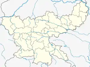  Sarjamda Location in Jharkhand, India 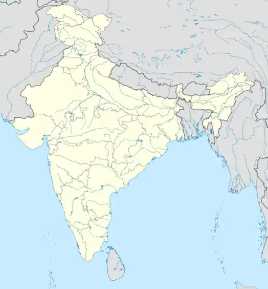 Sarjamda Sarjamda (India) | |
| Coordinates: 22.75°N 86.23°E | |
| Country |  India India |
| State | Jharkhand |
| District | Purbi Singhbhum |
| Area | |
| • Total | 2.63 km2 (1.02 sq mi) |
| Population (2011) | |
| • Total | 23,788 |
| • Density | 9,000/km2 (23,000/sq mi) |
| Languages* | |
| • Official | Hindi, Urdu |
| Time zone | UTC+5:30 (IST) |
| PIN | 831002 |
| Telephone/STD code | 0657 |
| Vehicle registration | JH 05 |
| Literacy | 76.90% |
| Lok Sabha constituency | Jamshedpur |
| Vidhan Sabha constituency | Potka |
| Website | jamshedpur |
Geography
Location
Sarjamda is located at 22.75°N 86.23°E.
Demographics
According to the 2011 Census of India, Sarjamda had a total population of 23,788, of which 12,168 (51%) were males and 11,620 (49%) were females. Population in the age range 0-6 years was 3,329. The total number of literate persons in Sarjamda was 15,733 (76.90% of the population over 6 years). [1]
(*For language details see Golmuri-cum-Jugsalai block#Language and religion)
Jamshedpur Urban Agglomeration includes: Jamshedpur (Industrial Town), Jamshedpur (NAC), Tata Nagar Railway Colony (OG), Mango (NAC), Jugsalai (M), Bagbera (CT), Chhota Gobindpur (CT), Haludbani (CT), Sarjamda (CT), Gadhra (CT), Ghorabandha (CT), Purihasa (CT), Adityapur (M Corp.), Chota Gamahria (CT) and Kapali (CT).[2]
As of 2001 India census,[3] Sarjamda had a population of 18,373. Males constitute 51% of the population and females 49%. Sarjamda has an average literacy rate of 60%, higher than the national average of 59.5%: male literacy is 71%, and female literacy is 48%. In Sarjamda, 15% of the population is under 6 years of age.
Infrastructure
According to the District Census Handbook 2011, Purbi Singhbhum, Sarjamda covered an area of 2.63 km2 (1.02 sq mi). It has an annual rainfall of 1,030.2 mm (40.56 in). Among the civic amenities, it had 14 km (8.7 mi) of roads with both closed and open drains, the protected water supply involved hand pump, uncovered well. It had 3,496 domestic electric connections. Among the medical facilities, it had 10 hospitals, 10 dispensaries, 10 health centres, 5 family welfare centres, 10 maternity and child welfare centres, 10 maternity homes, 3 nursing homes, 2 charitable hospitals/ nursing homes, 5 veterinary hospitals, 8 medicine shops. Among the educational facilities it had 11 primary schools, 2 middle schools, 1 secondary school, 1 senior secondary school, the nearest general degree college at Khasmahal, 3 km (1.9 mi) away. Among social, cultural and recreational facilities, it had 1 cinema theatre, 1 auditorium/ community hall. Three important commodities it produced were bread, agarbatti, paper plate. It had the branch offices of 1 nationalised bank, 2 cooperative banks.[4]
References
- "District Census Handbook, Purbi Singhbhum, Series 21, Part XII B" (PDF). Location code: 363455, Pages 26-27: District primary census abstract, 2011 census. Directorate of Census Operations Jharkhand. Retrieved 15 December 2021.
- "Constituents of Urban Agglomerations Having Population 1 Lakh & above" (PDF). Provisional Population Totals, Census of India 2011. Retrieved 15 December 2021.
- "Census of India 2001: Data from the 2001 Census, including cities, villages and towns (Provisional)". Census Commission of India. Archived from the original on 16 June 2004. Retrieved 1 November 2008.
- "District Census Handbook, Purbi Singhbhum, Series 21, Part XII A" (PDF). Pages 863-871. Directorate of Census Operations Jharkhand. Retrieved 14 December 2021.