Biddaddaba, Queensland
Biddaddaba is a rural locality in the Scenic Rim Region, Queensland, Australia.[2] In the 2016 census Biddaddaba had a population of 171 people.[1]
| Biddaddaba Queensland | |||||||||||||||
|---|---|---|---|---|---|---|---|---|---|---|---|---|---|---|---|
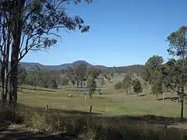 Paddocks along Beaudesert Nerang Road, 2014 | |||||||||||||||
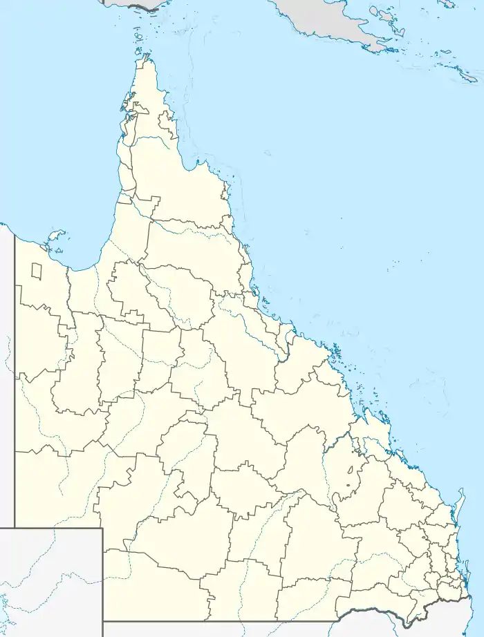  Biddaddaba | |||||||||||||||
| Coordinates | 27.9952°S 153.1086°E | ||||||||||||||
| Population | 171 (2016 census)[1] | ||||||||||||||
| • Density | 4.043/km2 (10.47/sq mi) | ||||||||||||||
| Postcode(s) | 4275 | ||||||||||||||
| Area | 42.3 km2 (16.3 sq mi) | ||||||||||||||
| Time zone | AEST (UTC+10:00) | ||||||||||||||
| Location |
| ||||||||||||||
| LGA(s) | Scenic Rim Region | ||||||||||||||
| State electorate(s) | Scenic Rim | ||||||||||||||
| Federal division(s) | Wright | ||||||||||||||
| |||||||||||||||
Geography
Biddaddaba is nestled in a small valley formed by the Biddaddaba Creek, a tributary of Canungra Creek, itself a tributary of the Albert River. The heavily vegetated slopes of a ridge extending in a north/south direction and climbing to elevations of more than 500 m above sea level, form a summit at Mount Misery in the east. In the west, Mount Tabragalba is the highest point along another ridge with roughly half the prominence. Like many parts of the Scenic Rim the area is mostly used for agricultural purposes. Several large dams are scattered throughout the locality.
History
The locality takes its name from Biddaddaba Creek, which in turn was named with an Bundjalung language word burubi-da meaning place of koalas.[2]
Biddaddaba Creek State School opened on 18 April 1933 and closed in 1959.[3]
In the 2016 census Biddaddaba had a population of 171 people.[1]
Demographics
In the 2016 census, Biddaddaba recorded a population of 171 people, 51.5% female and 48.5% male.[1] The median age of the Biddaddaba population was 47 years, compared to the national median age of 38. 75.6% of people living in Biddaddaba were born in Australia. The other top responses for country of birth were England 4.4% and New Zealand 3.1%. 88.9% of people only spoke English at home.[1]
Education
There are no schools in Biddaddaba. The nearest government primary schools are Beaudesert State School in Beaudesert to the west and Canungra State School in neighbouring Canungra to the south-west. The nearest government secondary school is Beaudesert State High School in Beaudesert.[4]
References
- Australian Bureau of Statistics (27 June 2017). "Biddaddaba (SSC)". 2016 Census QuickStats. Retrieved 20 October 2018.

- "Biddaddaba – locality in Scenic Rim Region (entry 45112)". Queensland Place Names. Queensland Government. Retrieved 29 December 2020.
- Queensland Family History Society (2010), Queensland schools past and present (Version 1.01 ed.), Queensland Family History Society, ISBN 978-1-921171-26-0
- "Queensland Globe". State of Queensland. Retrieved 3 April 2021.
Further reading
 |
Wikimedia Commons has media related to Biddaddaba, Queensland. |
Biddaddaba Creek Heritage Group (1999). The history of Biddaddaba Creek, Boyland, Canungra Line, Queensland. Biddaddaba Creek Heritage Group. ISBN 978-0-646-36645-6.