Fassifern Valley, Queensland
Fassifern Valley is a rural locality in the Scenic Rim Region, Queensland, Australia.[2] In the 2016 census Fassifern Valley had a population of 91 people.[1]
| Fassifern Valley Queensland | |||||||||||||||
|---|---|---|---|---|---|---|---|---|---|---|---|---|---|---|---|
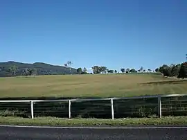 Fields in Fassifern Valley | |||||||||||||||
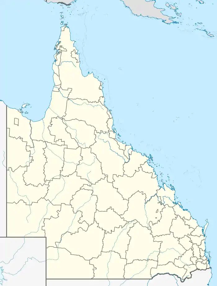  Fassifern Valley | |||||||||||||||
| Coordinates | 27.9722°S 152.6061°E | ||||||||||||||
| Population | 91 (2016 census)[1] | ||||||||||||||
| • Density | 10.34/km2 (26.78/sq mi) | ||||||||||||||
| Postcode(s) | 4309 | ||||||||||||||
| Area | 8.8 km2 (3.4 sq mi) | ||||||||||||||
| Time zone | AEST (UTC+10:00) | ||||||||||||||
| Location |
| ||||||||||||||
| LGA(s) | Scenic Rim Region | ||||||||||||||
| State electorate(s) | Scenic Rim | ||||||||||||||
| Federal division(s) | Wright | ||||||||||||||
| |||||||||||||||
History
Fassifern Valley Provisional School opened on 13 March 1906. It became Fassifern State School on 1 January 1909. It closed in 1958.[3] It was at 16 Tutin Road (27.9697°S 152.6085°E).[4][5][6]
In the 2016 census Fassifern Valley had a population of 91 people.[1]
Demographics
Fassifern Valley has a population of 91 at the 2016 census. The locality contains 41 households, in which 56.0% of the population are males and 44.0% of the population are females with a median age of 41, 3 years above the national average. The average weekly household income is $1,145, $293 below the national average.[1]
Education
There are no schools in Fassifern Valley. The nearest government primary schools are Kalbar State School in neighbouring Kalbar to the north and Aratula State School in Aratula to the south-west. The nearest government secondary school is Boonah State High School in Boonah to the south-east.[6]
References
- Australian Bureau of Statistics (27 June 2017). "Fassifern Valley (SSC)". 2016 Census QuickStats. Retrieved 20 October 2018.

- "Fassifern Valley – locality in Scenic Rim Region (entry 45138)". Queensland Place Names. Queensland Government. Retrieved 20 July 2021.
- Queensland Family History Society (2010), Queensland schools past and present (Version 1.01 ed.), Queensland Family History Society, ISBN 978-1-921171-26-0
- "Moreton 40 Chain map AG2 series sheet 25 south" (Map). Queensland Government. 1915. Archived from the original on 11 August 2021. Retrieved 11 August 2021.
- "Flinders" (Map). Queensland Government. 1927. Archived from the original on 29 May 2020. Retrieved 11 August 2021.
- "Queensland Globe". State of Queensland. Retrieved 14 December 2021.


Further reading
{{commons category|Fassifern Valley, Queensland]]
- Pfeffer, Collin; Miller, Lawrence; Yarrow, Robert A; Engelsburg State School Centenary Association (Kalbar, Qld.) (1979), Engelsburg State School centenary book : including history of:- Fassifern Station, Fassifern Valley, Charlwood, Silverdale, Obum Obum, Frazerview and Moogerah Dam Provisional School, Engelsburg State School Centenary Celebrations Association, ISBN 978-0-9595324-0-1