Milbong, Queensland
Milbong is a locality in the Scenic Rim Region, Queensland, Australia.[2]
| Milbong Queensland | |||||||||||||||
|---|---|---|---|---|---|---|---|---|---|---|---|---|---|---|---|
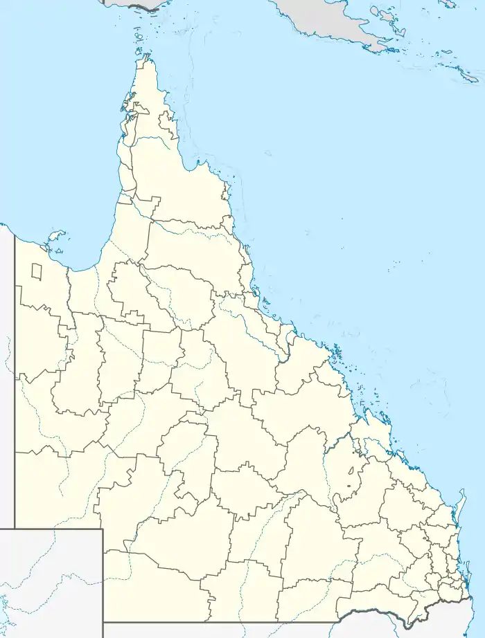  Milbong | |||||||||||||||
| Coordinates | 27.8833°S 152.7322°E | ||||||||||||||
| Population | 161 (2016 census)[1] | ||||||||||||||
| • Density | 5.771/km2 (14.95/sq mi) | ||||||||||||||
| Postcode(s) | 4310 | ||||||||||||||
| Area | 27.9 km2 (10.8 sq mi) | ||||||||||||||
| LGA(s) | Scenic Rim Region | ||||||||||||||
| State electorate(s) | Scenic Rim | ||||||||||||||
| Federal division(s) | Wright | ||||||||||||||
| |||||||||||||||
History
The name Milbong is a combination of two Aboriginal words in Bundjalung language, Yugumbir dialect, in which mil means eye and bong means dead. An Aboriginal with only one eye is supposed to have camped by a waterhole in the vicinity.[2]
Geography
Purga Creek flows through from the south before forming the north-eastern boundary.[3]
Road infrastructure
The Ipswich – Boonah Road (State Route 93) runs through from north to south.[4]
Demographics
Milbong has a population of 161 at the 2016 census. The locality contains 66 households, in which 50.6% of the population are males and 49.4% of the population are females with a median age of 45, 7 years above the national average. The average weekly household income is $1,140, $298 below the national average.
0.0% of Milbong's population is either of Aborigional or Torres Strait Islander descent. 68.5% of the population aged 15 or over is either registered or de facto married, while 31.5% of the population is not married. 29.1% of the population is currently attending some form of a compulsory education. The most common nominated ancestries were Australian (37.1%), English (27.2%) and German (9.4%), while the most common country of birth was Australia (86.9%), and the most commonly spoken language at home was English (93.2%). The most common nominated religions were Catholic (27.5%), the Uniting Church (19.7%) and No religion (19.7%). The most common occupation was a cleric/administration worker (24.6%) and the majority/plurality of residents worked 40 or more hours per week (43.1%).[1]
References
- Australian Bureau of Statistics (27 June 2017). "Milbong". 2016 Census QuickStats. Retrieved 20 January 2020.

- "Milbong – locality in Scenic Rim Region (entry 45162)". Queensland Place Names. Queensland Government. Retrieved 8 November 2017.
- Google (15 September 2021). "Milbong, Queensland" (Map). Google Maps. Google. Retrieved 15 September 2021.
- Milbong, Queensland (Map). Google Maps. Retrieved 4 October 2021.