Tarome, Queensland
Tarome is a rural locality in the Scenic Rim Region, Queensland, Australia.[2]
| Tarome Queensland | |||||||||||||||
|---|---|---|---|---|---|---|---|---|---|---|---|---|---|---|---|
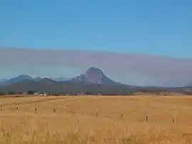 View of Mount Greville across Tarome, 2011 | |||||||||||||||
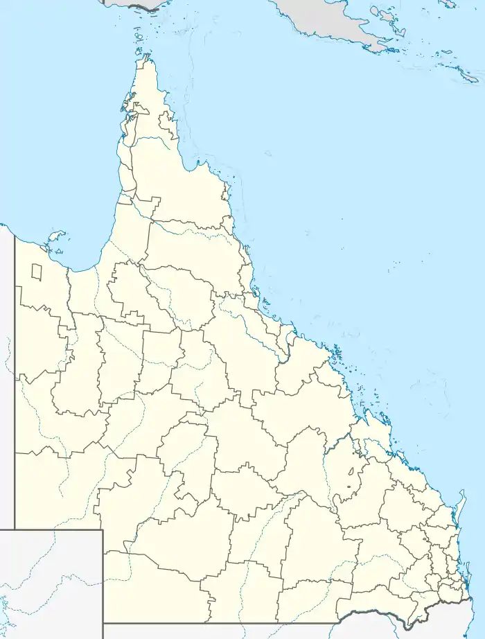  Tarome | |||||||||||||||
| Coordinates | 28.0061°S 152.4450°E | ||||||||||||||
| Population | 118 (2016 census)[1] | ||||||||||||||
| • Density | 0.897/km2 (2.322/sq mi) | ||||||||||||||
| Postcode(s) | 4309 | ||||||||||||||
| Area | 131.6 km2 (50.8 sq mi) | ||||||||||||||
| LGA(s) | Scenic Rim Region | ||||||||||||||
| State electorate(s) | Scenic Rim | ||||||||||||||
| Federal division(s) | Wright | ||||||||||||||
| |||||||||||||||
History
Tarome State School opened on 24 February 1915. It closed on 18 December 1992.[3]
Geography
The ridge line of the Great Dividing Range forms part of the western boundary. Warrill Creek rises in the locality and flows to the north-east. Part of the upper catchment of the Bremer River is also in the locality.[4]
Road infrastructure
The Cunningham Highway runs along the southern boundary.
Demographics
Tarome has a population of 118 at the 2016 census. The locality contains 46 households, in which 53.3% of the population are males and 46.7% of the population are females with a median age of 44, 6 years above the national average. The average weekly household income is $1,224, $214 below the national average.
4.9% of Tarome's population is either of Aborigional or Torres Strait Islander descent. 57.3% of the population aged 15 or over is either registered or de facto married, while 42.7% of the population is not married. 30.3% of the population is currently attending some form of a compulsory education. The most common nominated ancestries were Australian (32.5%), English (23.3%) and German (20.2%), while the most common country of birth was Australia (87.9%), and the most commonly spoken language at home was English (90.9%). The most common nominated religions were No religion (22.9%), Anglican (15.3%) and the Uniting Church (14.4%). The most common occupation was a manager (48.9%) and the majority/plurality of residents worked 40 or more hours per week (61.5%).[1]
References
- Australian Bureau of Statistics (27 June 2017). "Tarome". 2016 Census QuickStats. Retrieved 14 September 2019.

- "Tarome – locality in Scenic Rim Region (entry 45195)". Queensland Place Names. Queensland Government. Retrieved 8 November 2017.
- Queensland Family History Society (2010), Queensland schools past and present (Version 1.01 ed.), Queensland Family History Society, ISBN 978-1-921171-26-0
- Google (15 September 2021). "Tarome, Queensland" (Map). Google Maps. Google. Retrieved 15 September 2021.
Further reading
- Tarome State School (1975), Tarome School diamond jubilee, 1915-1975, s.n.], retrieved 7 June 2020
External links
 Media related to Tarome, Queensland at Wikimedia Commons