Jose P. Laurel Highway
Jose P. Laurel Highway is a 49-kilometer (30 mi), two-to-six lane, major highway running within the province of Batangas.[1][2][3] The highway forms part of National Route 4 (N4) of the Philippine highway network.[4] It is also known as Manila–Batangas Diversion Road in Santo Tomas, Manila–Batangas Road from its junction with General Malvar Street in Santo Tomas southwards, and Ayala Highway in Lipa.
.svg.png.webp) | ||||
|---|---|---|---|---|
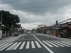 Jose P. Laurel Highway in Malvar | ||||
| Route information | ||||
| Maintained by the Department of Public Works and Highways | ||||
| Length | 49 km (30 mi) | |||
| Component highways | N4 | |||
| Major junctions | ||||
| North end | _sign.svg.png.webp) AH 26 (N1) (Maharlika Highway) / Governor Carpio Avenue in Santo Tomas AH 26 (N1) (Maharlika Highway) / Governor Carpio Avenue in Santo Tomas | |||
| ||||
| South end | .svg.png.webp) .svg.png.webp) N436 (Palico–Balayan–Batangas Road) / N437 (P. Burgos Street) in Batangas City N436 (Palico–Balayan–Batangas Road) / N437 (P. Burgos Street) in Batangas City | |||
| Location | ||||
| Provinces | Batangas | |||
| Major cities | Santo Tomas, Tanauan, Lipa, Batangas City | |||
| Towns | Malvar, San Jose | |||
| Highway system | ||||
| ||||
.svg.png.webp)
.svg.png.webp)
The highway was named in the honor of Jose P. Laurel, a Batangas native who served as the president of the Second Philippine Republic.
Route description
Jose P. Laurel Highway starts at the Santo Tomas Junction, a roundabout intersection with the Maharlika Highway and Governor Carpio Avenue in Santo Tomas. The Southern Tagalog Arterial Road mostly parallels the highway, and crosses each other at Lipa and Batangas City. It then enters Tanauan, Malvar, Lipa, where it diverts motorists around the poblacion as Ayala Highway, San Jose, and Batangas City, where it ends at the intersection with Palico–Balayan–Batangas Road and P. Burgos Street (Manila-Batangas Pier Road) in the poblacion.
History
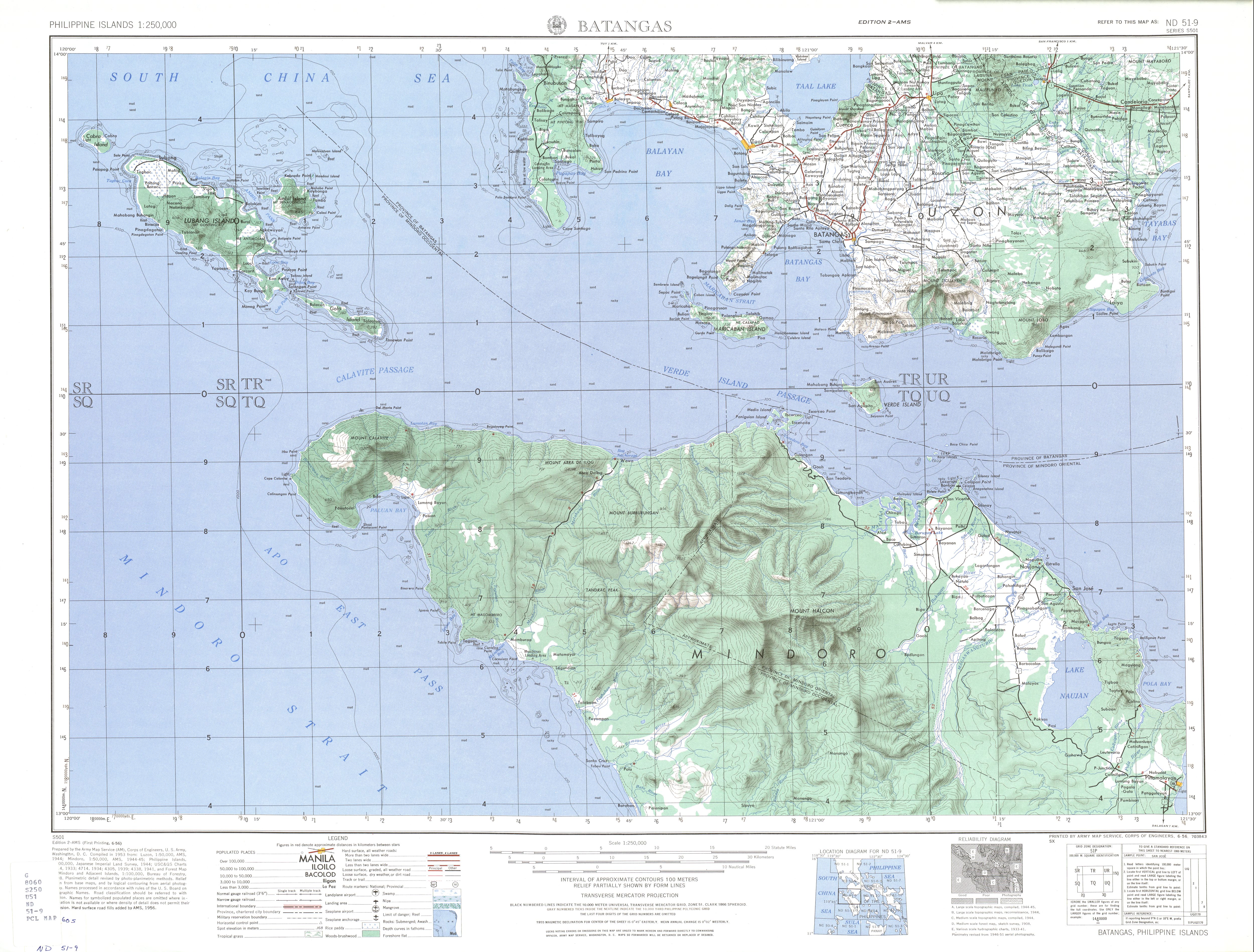
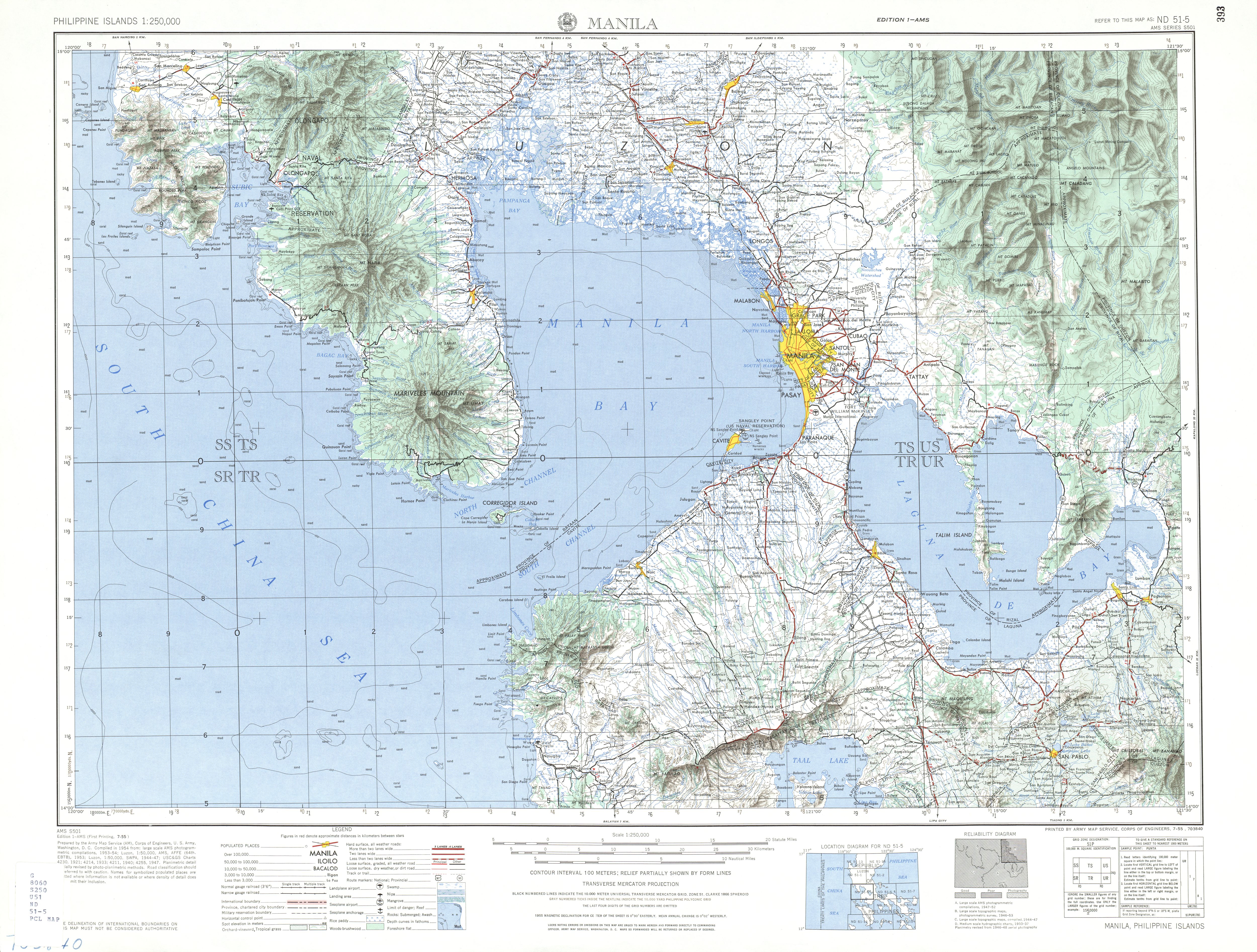
The highway formed part of Highway 19 that linked Santo Tomas and the then-municipality of Batangas.[5][6][7] New downtown-bypassing alignments in Lipa (now known as Ayala Highway) and in Santo Tomas (officially known as Manila–Batangas Diversion Road),[4] respectively, were later built and made part of the present-day highway.[8]
Intersections
The entire route will be located in Batangas. Intersections are numbered by kilometer posts, with Rizal Park in Manila designated as kilometer zero.
| City/Municipality | km | mi | Destinations | Notes | |
|---|---|---|---|---|---|
| Santo Tomas | AH 26 (N1) (Maharlika Highway) / Governor Carpio Avenue – Manila, San Pablo | Northern terminus. Roundabout. | |||
| N4 (General Malvar Street) | |||||
| Santo Tomas Bypass Road | |||||
| Santo Tomas–Tanauan boundary | San Juan Bridge over San Juan River | ||||
| Tanauan | .svg.png.webp) N421 (Mabini Avenue) – STAR Tollway, Talisay, Tagaytay N421 (Mabini Avenue) – STAR Tollway, Talisay, Tagaytay | Traffic light intersection. | |||
| Malvar | Pedro Montecer Street – STAR Tollway | ||||
| Lipa | Leviste Road – Alaminos | ||||
| F. Leviste Highway – STAR Tollway, Balete | |||||
| Alaminos–Lipa Road – Alaminos, San Pablo | |||||
.svg.png.webp) N431 (General Luna Street) – Padre Garcia, Rosario, San Juan N431 (General Luna Street) – Padre Garcia, Rosario, San Juan | Roundabout. Eastern end of Ayala Highway. | ||||
| N431 (B. Morada Avenue) – Lipa city proper, Padre Garcia, Rosario, San Juan | Roundabout. Western end of Ayala Highway. | ||||
.svg.png.webp) E2 (STAR Tollway) – Manila, Batangas City E2 (STAR Tollway) – Manila, Batangas City | |||||
.svg.png.webp) N432 (Fernando Airbase Road) N432 (Fernando Airbase Road) | Serves Fernando Air Base. | ||||
| Mataaskahoy Road – Mataasnakahoy | |||||
.svg.png.webp) N433 (Banay-Banay–Mojon–Cuenca Road) – Cuenca, Lemery, Calaca N433 (Banay-Banay–Mojon–Cuenca Road) – Cuenca, Lemery, Calaca | |||||
| San Jose | Charito Makalintal Avenue – San Jose town proper, Ibaan | ||||
| Makalintal Avenue / Pulgeras Road – San Jose town proper, Alitagtag, Bauan | |||||
| Makalintal Avenue – San Jose town proper | |||||
| Batangas City | .svg.png.webp)  E2 (STAR Tollway) / N434 (Batangas Port Diversion Road) – Batangas International Port, Manila E2 (STAR Tollway) / N434 (Batangas Port Diversion Road) – Batangas International Port, Manila | ||||
.svg.png.webp) N435 (Batangas–Ibaan Road) – Ibaan N435 (Batangas–Ibaan Road) – Ibaan | |||||
.svg.png.webp) N438 (Tolentino Road) – Lobo N438 (Tolentino Road) – Lobo | |||||
| N436 (Palico–Balayan–Batangas Road) / N437 (P. Burgos Street) – Batangas International Port, Batangas city proper | Southern terminus. Traffic light intersection | ||||
| 1.000 mi = 1.609 km; 1.000 km = 0.621 mi | |||||
References
- "Batangas 2nd". www.dpwh.gov.ph. Retrieved June 8, 2018.
- "Batangas 3rd". www.dpwh.gov.ph. Retrieved June 8, 2018.
- "Batangas 4th". www.dpwh.gov.ph. Retrieved June 8, 2018.
- "Road and Bridge Inventory". Department of Public Works and Highways. Retrieved November 28, 2021.
- Southern Luzon Western Sheet (Map). 1:200000. Washington D.C.: US Geodetic Survey. 1941. Retrieved July 31, 2021.
- 1944 Army Map Service Road Map of Northern Luzon, Philippines (Map). 1:500000. Washington D.C.: Army Map Service. 1944. Retrieved July 31, 2021.
- ND 51-9 Batangas (Map). 1:250,000. Washington D.C.: Army Map Service, Corps of Engineers. 1954. Retrieved November 20, 2021.
- ND 51-5 Manila (Map). 1:250,000. Washington D.C.: Army Map Service, Corps of Engineers. 1954. Retrieved November 20, 2021.
External links
| Expressways |
|  | |||||
|---|---|---|---|---|---|---|---|
| National highways |
| ||||||

| National primary roads |
| | ||||||
|---|---|---|---|---|---|---|---|---|
| National secondary roads |
| |||||||
See also: Philippine expressway network | ||||||||