Písečná (Jeseník District)
Písečná (until 1948 Sandhýbl, German: Sandhübel) is a municipality and village in Jeseník District in the Olomouc Region of the Czech Republic. It has about 1,000 inhabitants.
Písečná | |
|---|---|
namesticko_CZ.jpg.webp) Square of Písečná | |
_vlajka.jpg.webp) Flag _CoA_CZ.jpg.webp) Coat of arms | |
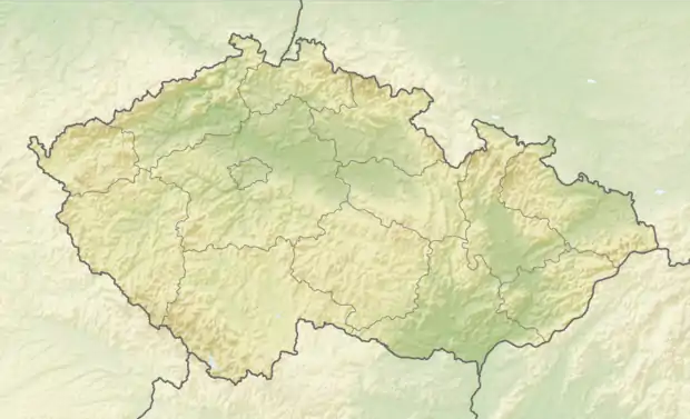  Písečná Location in the Czech Republic | |
| Coordinates: 50°16′23″N 17°15′14″E | |
| Country |  Czech Republic Czech Republic |
| Region | Olomouc |
| District | Jeseník |
| First mentioned | 1263 |
| Area | |
| • Total | 8.43 km2 (3.25 sq mi) |
| Elevation | 403 m (1,322 ft) |
| Population (2020-01-01[1]) | |
| • Total | 972 |
| • Density | 120/km2 (300/sq mi) |
| Time zone | UTC+1 (CET) |
| • Summer (DST) | UTC+2 (CEST) |
| Postal code | 790 82 |
| Website | www |
Písečná lies approximately 6 kilometres (4 mi) north-east of Jeseník, 76 km (47 mi) north of Olomouc, and 204 km (127 mi) east of Prague.
History
The settlement was founded in the 16th century, when it was part of the Duchy of Nysa under Bohemian (Czech) suzerainty. After the duchy's dissolution in 1850, it was incorporated directly into Bohemia. Following World War I, from 1918, it formed part of Czechoslovakia, and from 1938 to 1945 it was occupied by Germany. During the occupation (World War II), the Germans operated three forced labour subcamps of the Stalag VIII-B/344 prisoner-of-war camp in the village.[2] The Allied POWs worked at the local brickworks (subcamp E174), paper mill (E175) and quarry (E401).[2]
References
- "Population of Municipalities – 1 January 2020". Czech Statistical Office. 2020-04-30.
- "Working Parties". Lamsdorf.com. Archived from the original on 29 October 2020. Retrieved 12 November 2021.
 |
Wikimedia Commons has media related to Písečná (Jeseník District). |
Authority control  | |
|---|---|
| General | |
| National libraries | |