Cadotte Lake
Cadotte Lake is an unincorporated community in northern Alberta, Canada within Northern Sunrise County.[2] It is located on the northern shore of the homonymous lake, along Highway 986, 79 km (49 mi) east of Peace River and 68 km (42 mi) west of the Bicentennial Highway (Highway 88).
Cadotte Lake | |
|---|---|
  Cadotte Lake Location of Cadotte Lake 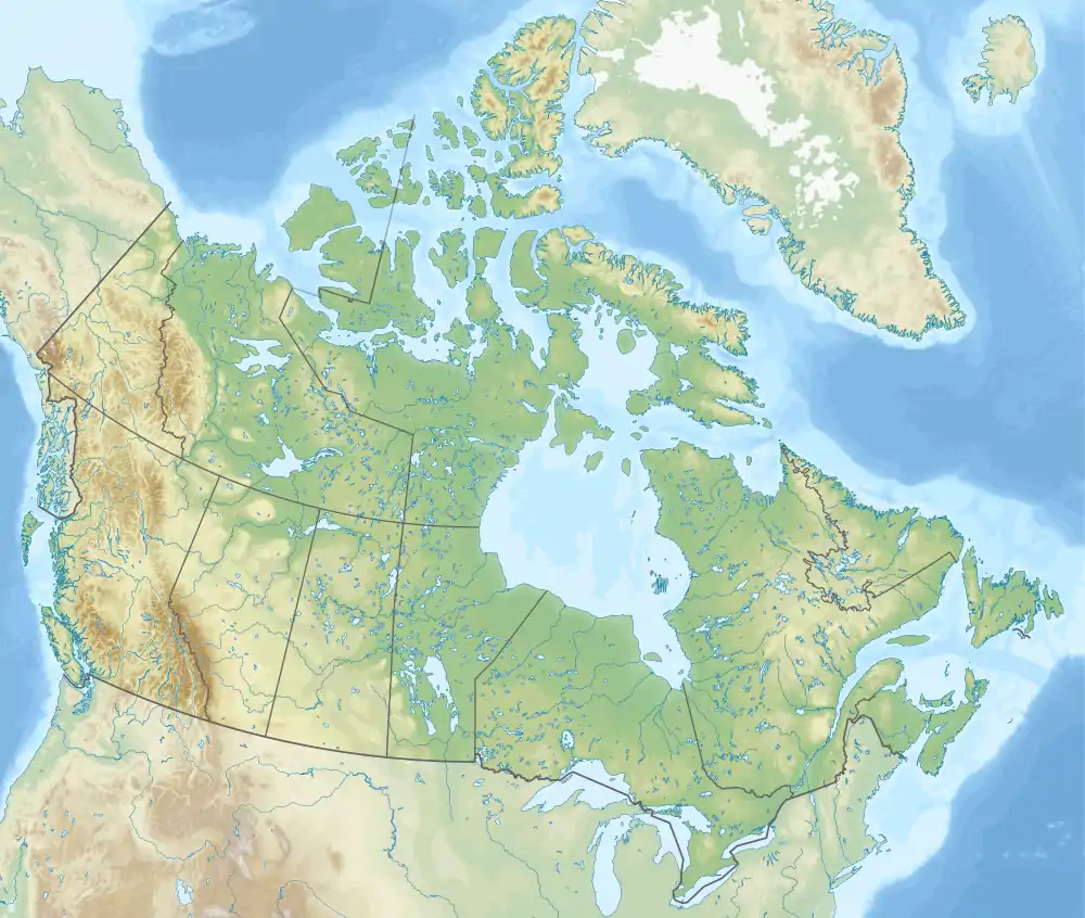 Cadotte Lake Cadotte Lake (Canada) | |
| Coordinates: 56°28′02″N 116°22′51″W | |
| Country | Canada |
| Province | Alberta |
| Region | Northern Alberta |
| Census division | 17 |
| Municipal district | Northern Sunrise County |
| Government | |
| • Type | Unincorporated |
| • Governing body | Northern Sunrise County Council |
| Area | |
| • Land | 1.66 km2 (0.64 sq mi) |
| Population (2016)[1] | |
| • Total | 5 |
| Time zone | UTC−07:00 (MST) |
| • Summer (DST) | UTC−06:00 (MDT) |
| Area code(s) | 780, 587, 825 |
The community straddles the boundary between the Woodland Cree First Nation Reserve 226 and Northern Sunrise County. The western portion of the community, located within the reserve, is known as the Cadotte Lake Indian Settlement,[3] while the eastern portion, located within Northern Sunrise County, is designated a hamlet.[2]
Cadotte Airport is located 2.7 km (1.7 mi) east of the settlement.
The community is named for the nearby lake, as is the out-flowing Cadotte River, which lends its name to the Cadotte Member of the Peace River Formation, a stratigraphical unit of the Western Canadian Sedimentary Basin.
Demographics
As a designated place in the 2016 Census of Population conducted by Statistics Canada, Cadotte Lake recorded a population of 5 living in 1 of its 14 total private dwellings, a change of -87.2% from its 2011 population of 39. With a land area of 1.66 km2 (0.64 sq mi), it had a population density of 3.0/km2 (7.8/sq mi) in 2016.[1]
As a designated place in the 2011 Census, Cadotte Lake had a population of 39 living in 9 of its 12 total dwellings, a 0% change from its 2006 population of 0. With a land area of 1.57 km2 (0.61 sq mi), it had a population density of 24.8/km2 (64.3/sq mi) in 2011.[4]
The population of the Hamlet of Cadotte Lake according to Northern Sunrise County's 2010 municipal census is 65.[5]
See also
References
- "Population and dwelling counts, for Canada, provinces and territories, and designated places, 2016 and 2011 censuses – 100% data (Alberta)". Statistics Canada. February 8, 2017. Retrieved February 13, 2017.
- "Specialized and Rural Municipalities and Their Communities" (PDF). Alberta Municipal Affairs. January 6, 2021. Retrieved September 29, 2021.
- "Cadotte Lake Indian Settlement". Indian and Northern Affairs Canada. Archived from the original on August 5, 2009. Retrieved December 11, 2009.
- "Population and dwelling counts, for Canada, provinces and territories, and designated places, 2011 and 2006 censuses (Alberta)". Statistics Canada. February 8, 2012. Retrieved April 6, 2012.
- "County Statistics". Northern Sunrise County. Retrieved March 30, 2011.
- The Boiling Point (Curtis Haugan. Record-Gazette. September 2, 2008)
Places adjacent to Cadotte Lake | ||||||||||||||||
|---|---|---|---|---|---|---|---|---|---|---|---|---|---|---|---|---|
| ||||||||||||||||




.svg.png.webp)
