Fort Kent, Alberta
Fort Kent is a hamlet in central Alberta, Canada within the Municipal District of Bonnyville No. 87,[2] located on Highway 28 approximately 32 kilometres (20 mi) southwest of Cold Lake.
Fort Kent | |
|---|---|
  Fort Kent Location of Fort Kent 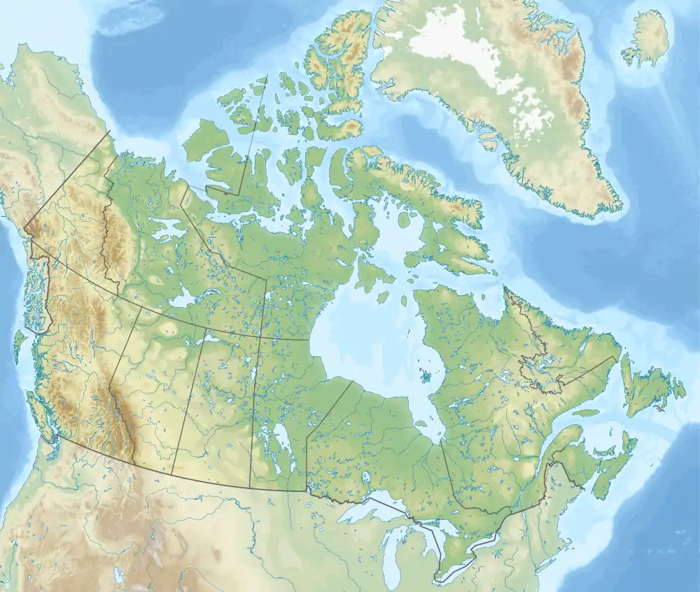 Fort Kent Fort Kent (Canada) | |
| Coordinates: 54°18′39″N 110°36′16″W | |
| Country | Canada |
| Province | Alberta |
| Region | Northern Alberta |
| Census division | 12 |
| Municipal district | Municipal District of Bonnyville No. 87 |
| Government | |
| • Type | Unincorporated |
| • Governing body | Municipal District of Bonnyville No. 87 Council |
| Area | |
| • Land | 0.34 km2 (0.13 sq mi) |
| Population (2016)[1] | |
| • Total | 191 |
| Time zone | UTC−07:00 (MST) |
| • Summer (DST) | UTC−06:00 (MDT) |
| Area code(s) | 780, 587, 825 |
Demographics
As a designated place in the 2016 Census of Population conducted by Statistics Canada, Fort Kent recorded a population of 191 living in 79 of its 91 total private dwellings, a change of -13.2% from its 2011 population of 220. With a land area of 0.34 km2 (0.13 sq mi), it had a population density of 561.8/km2 (1,455.0/sq mi) in 2016.[1]
As a designated place in the 2011 Census, Fort Kent had a population of 220 living in 90 of its 91 total dwellings, a 10% change from its 2006 population of 200. With a land area of 0.34 km2 (0.13 sq mi), it had a population density of 647/km2 (1,680/sq mi) in 2011.[3]
See also
References
- "Population and dwelling counts, for Canada, provinces and territories, and designated places, 2016 and 2011 censuses – 100% data (Alberta)". Statistics Canada. February 8, 2017. Retrieved February 13, 2017.
- "Specialized and Rural Municipalities and Their Communities" (PDF). Alberta Municipal Affairs. January 6, 2021. Retrieved September 29, 2021.
- "Population and dwelling counts, for Canada, provinces and territories, and designated places, 2011 and 2006 censuses (Alberta)". Statistics Canada. February 8, 2012. Retrieved April 7, 2012.


.svg.png.webp)
