Gainford, Alberta
Gainford is a hamlet in Alberta, Canada within Parkland County.[3] It is located approximately 86 kilometres (53 mi) west of Edmonton and has an elevation of 740 metres (2,430 ft).
Gainford | |
|---|---|
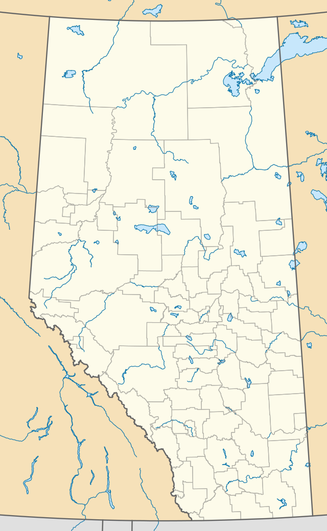  Location of Gainford in Alberta | |
| Coordinates: 53.5869°N 114.7881°W | |
| Country | Canada |
| Province | Alberta |
| Census division | No. 11 |
| Municipal district | Parkland County |
| Founded by | Grand Trunk Pacific Railway |
| Named for | Gainford, County Durham, England |
| Government | |
| • Type | Unincorporated |
| • Mayor | Allan Gamble |
| • Governing body | Parkland County Council
|
| Area | |
| • Total | 1.08 km2 (0.42 sq mi) |
| Elevation | 740 m (2,430 ft) |
| Population (2016)[2] | |
| • Total | 79 |
| Time zone | UTC−7 (MST) |
| • Summer (DST) | UTC−6 (MDT) |
The hamlet is located in Census Division No. 11 and in the federal riding of Yellowhead. The north border of Gainford shares part of the shore of Isle Lake. The Yellowhead Highway (Alberta Highway 16) passes through Gainford.
History
The first post office opened in 1910. The community takes its name from Gainford, County Durham, England.[4][5]
Demographics
As a designated place in the 2016 Census of Population conducted by Statistics Canada, Gainford recorded a population of 79 living in 38 of its 53 total private dwellings, a change of -40.2% from its 2011 population of 132. With a land area of 1.08 km2 (0.42 sq mi), it had a population density of 73.1/km2 (189.5/sq mi) in 2016.[1]
As a designated place in the 2011 Census, Gainford had a population of 132 living in 55 of its 71 total dwellings, a 0% change from its 2006 population of 132. With a land area of 1.08 km2 (0.42 sq mi), it had a population density of 122.2/km2 (316.6/sq mi) in 2011.[2]
The population of Gainford according to Parkland County's 2009 municipal census is 47.[6]
See also
References
- "Population and dwelling counts, for Canada, provinces and territories, and designated places, 2016 and 2011 censuses – 100% data (Alberta)". Statistics Canada. February 8, 2017. Retrieved February 13, 2017.
- "Population and dwelling counts, for Canada, provinces and territories, and designated places, 2011 and 2006 censuses (Alberta)". Statistics Canada. 2012-02-08. Retrieved 2012-04-07.
- "Specialized and Rural Municipalities and Their Communities" (PDF). Alberta Municipal Affairs. January 6, 2021. Retrieved September 29, 2021.
- Place-names of Alberta. Ottawa: Geographic Board of Canada. 1928. p. 55.
- Harrison, Tracey (1994). Place Names of Alberta. Volume III: Central Alberta. Calgary, AB: University of Calgary Press. p. 98. ISBN 1-895176-44-1.
- Parkland County (June 29, 2009). "2009 Municipal Census". Archived from the original on July 15, 2011. Retrieved January 6, 2010.


.svg.png.webp)
