Duffield, Alberta
Duffield is a hamlet in central Alberta, Canada within Parkland County.[2] It is located 5 kilometres (3.1 mi) south of Highway 16, approximately 30 kilometres (19 mi) west of Spruce Grove.
Duffield | |
|---|---|
  Duffield Location of Duffield 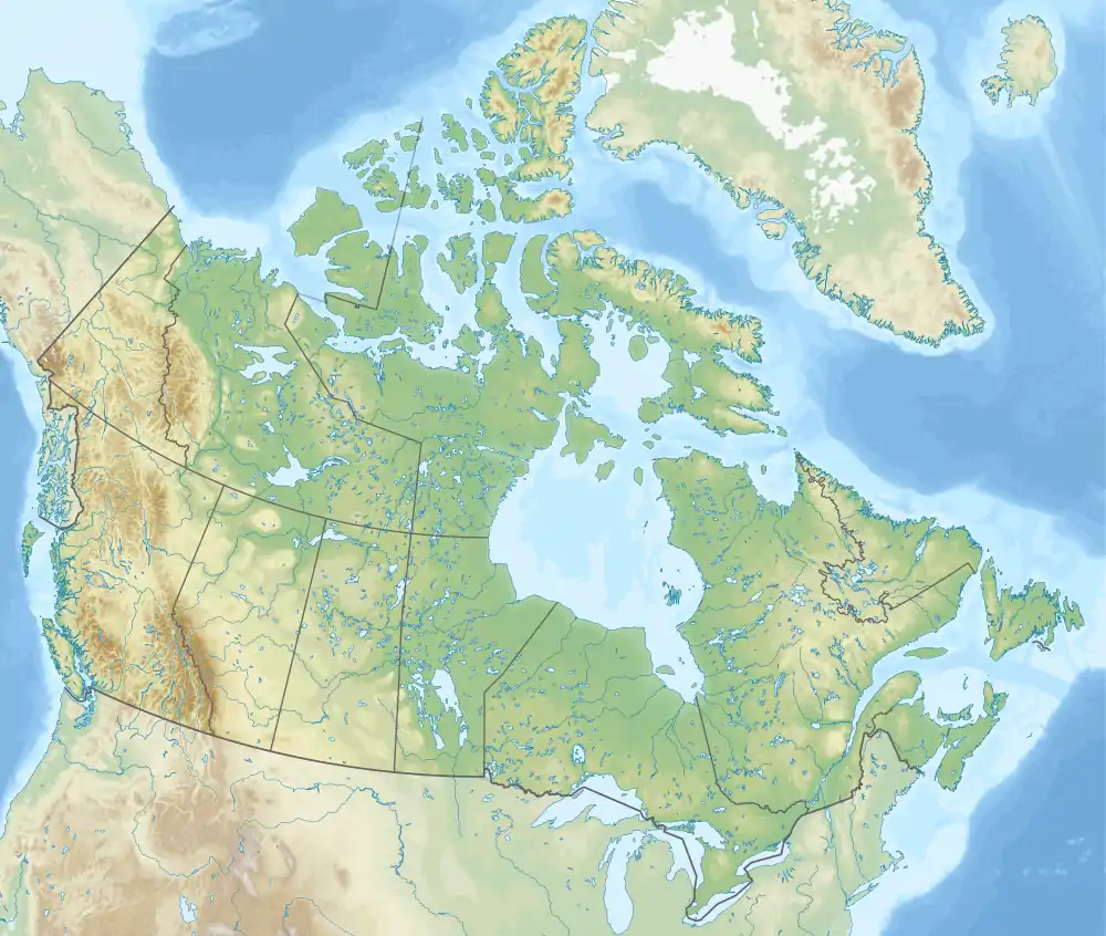 Duffield Duffield (Canada) | |
| Coordinates: 53°31′41″N 114°20′39″W | |
| Country | Canada |
| Province | Alberta |
| Region | Edmonton Metropolitan Region |
| Census division | 11 |
| Municipal district | Parkland County |
| Government | |
| • Type | Unincorporated |
| • Governing body | Parkland County Council |
| Area | |
| • Land | 0.32 km2 (0.12 sq mi) |
| Population (2016)[1] | |
| • Total | 67 |
| Time zone | UTC−07:00 (MST) |
| • Summer (DST) | UTC−06:00 (MDT) |
| Area code(s) | 780, 587, 825 |
The community has the name of George Duffield Hall.[3]
Demographics
As a designated place in the 2016 Census of Population conducted by Statistics Canada, Duffield recorded a population of 67 living in 26 of its 30 total private dwellings, a change of -5.6% from its 2011 population of 71. With a land area of 0.32 km2 (0.12 sq mi), it had a population density of 209.4/km2 (542.3/sq mi) in 2016.[1]
The population of Duffield according to Parkland County's 2009 municipal census is 69.[4]
References
- "Population and dwelling counts, for Canada, provinces and territories, and designated places, 2016 and 2011 censuses – 100% data (Alberta)". Statistics Canada. February 8, 2017. Retrieved February 13, 2017.
- "Specialized and Rural Municipalities and Their Communities" (PDF). Alberta Municipal Affairs. January 6, 2021. Retrieved September 29, 2021.
- Place-names of Alberta. Ottawa: Geographic Board of Canada. 1928. p. 45.
- Parkland County (June 29, 2009). "2009 Municipal Census". Archived from the original on July 15, 2011. Retrieved January 6, 2010.


.svg.png.webp)

This article is issued from Wikipedia. The text is licensed under Creative Commons - Attribution - Sharealike. Additional terms may apply for the media files.