Wedgewood, Alberta
Wedgewood is a hamlet in northern Alberta, Canada within the County of Grande Prairie No. 1.[2]
Wedgewood | |
|---|---|
  Wedgewood Location of Wedgewood 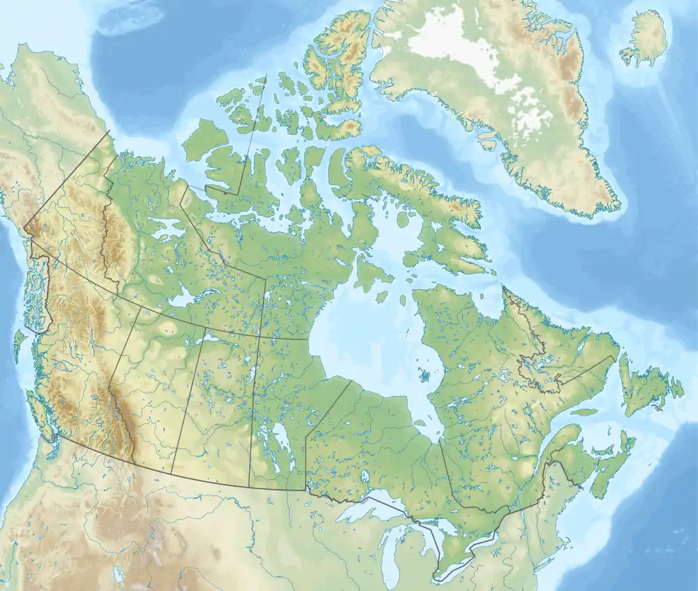 Wedgewood Wedgewood (Canada) | |
| Coordinates: 55°06′59″N 118°48′48″W | |
| Country | Canada |
| Province | Alberta |
| Region | Northern Alberta |
| Census division | 19 |
| Municipal district | County of Grande Prairie No. 1 |
| Government | |
| • Type | Unincorporated |
| • Governing body | County of Grande Prairie No. 1 Council |
| Area | |
| • Land | 0.53 km2 (0.20 sq mi) |
| Population (2016)[1] | |
| • Total | 753 |
| Time zone | UTC−07:00 (MST) |
| • Summer (DST) | UTC−06:00 (MDT) |
| Area code(s) | 780, 587, 825 |
It is immediately adjacent to the City of Grande Prairie on the west side of Resources Road (Range Road 60), approximately 2.4 kilometres (1.5 mi) east of Highway 40 and 0.8 kilometres (0.50 mi) north of Highway 668.
Demographics
As a designated place in the 2016 Census of Population conducted by Statistics Canada, Wedgewood recorded a population of 753 living in 297 of its 304 total private dwellings, a change of -0.3% from its 2011 population of 755. With a land area of 0.53 km2 (0.20 sq mi), it had a population density of 1,420.8/km2 (3,679.7/sq mi) in 2016.[1]
The population of Wedgewood according to the County of Grande Prairie No. 1's 2006 municipal census is 736.[3]
References
- "Population and dwelling counts, for Canada, provinces and territories, and designated places, 2016 and 2011 censuses – 100% data (Alberta)". Statistics Canada. February 8, 2017. Retrieved February 13, 2017.
- "Specialized and Rural Municipalities and Their Communities" (PDF). Alberta Municipal Affairs. January 6, 2021. Retrieved September 29, 2021.
- County of Grande Prairie No. 1. "Economic Profile" (PDF). Retrieved January 10, 2010.


.svg.png.webp)
