Monarch, Alberta
Monarch is a hamlet in southern Alberta, Canada within the Lethbridge County.[2] It is located on Highway 3A, approximately 23 kilometres (14 mi) northwest of Lethbridge. It was formerly a village, existing as such from about 1913 to about 1939.
Monarch | |
|---|---|
  Monarch Location of Monarch 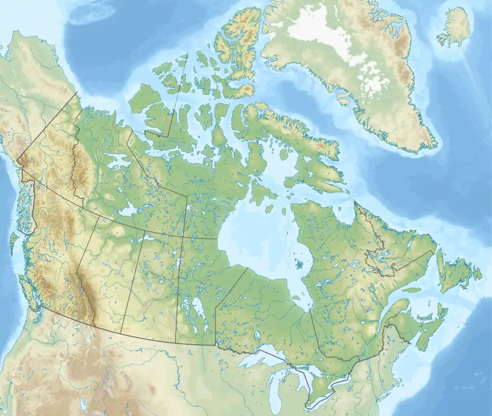 Monarch Monarch (Canada) | |
| Coordinates: 49°48′16″N 113°06′28″W | |
| Country | Canada |
| Province | Alberta |
| Region | Southern Alberta |
| Census division | 2 |
| Municipal district | Lethbridge County |
| Government | |
| • Type | Unincorporated |
| • Governing body | Lethbridge County Council |
| Area | |
| • Land | 0.39 km2 (0.15 sq mi) |
| Population (2016)[1] | |
| • Total | 227 |
| Time zone | UTC−07:00 (MST) |
| • Summer (DST) | UTC−06:00 (MDT) |
| Area code(s) | 403, 587, 825 |
Climate
Monarch has a semi-arid climate (Köppen climate classification BSk) with an average maximum temperature of 12.2 °C (54.0 °F) and an average minimum temperature of −1.7 °C (28.9 °F).[3]
| Climate data for Monarch (1981-2010) | |||||||||||||
|---|---|---|---|---|---|---|---|---|---|---|---|---|---|
| Month | Jan | Feb | Mar | Apr | May | Jun | Jul | Aug | Sep | Oct | Nov | Dec | Year |
| Record high °C (°F) | 16.0 (60.8) |
22.5 (72.5) |
27.0 (80.6) |
30.0 (86.0) |
33.0 (91.4) |
33.5 (92.3) |
35.5 (95.9) |
35.5 (95.9) |
35.5 (95.9) |
30.0 (86.0) |
23.0 (73.4) |
15.5 (59.9) |
35.5 (95.9) |
| Average high °C (°F) | −0.7 (30.7) |
1.9 (35.4) |
6.2 (43.2) |
12.9 (55.2) |
18.2 (64.8) |
21.6 (70.9) |
25.3 (77.5) |
24.8 (76.6) |
19.1 (66.4) |
13.1 (55.6) |
4.3 (39.7) |
0.0 (32.0) |
12.2 (54.0) |
| Daily mean °C (°F) | −6.8 (19.8) |
−4.5 (23.9) |
−0.4 (31.3) |
5.7 (42.3) |
10.7 (51.3) |
14.6 (58.3) |
17.4 (63.3) |
16.7 (62.1) |
11.6 (52.9) |
6.2 (43.2) |
−1.6 (29.1) |
−6.0 (21.2) |
5.3 (41.5) |
| Average low °C (°F) | −12.9 (8.8) |
−10.9 (12.4) |
−6.9 (19.6) |
−1.6 (29.1) |
3.1 (37.6) |
7.5 (45.5) |
9.5 (49.1) |
8.5 (47.3) |
4.0 (39.2) |
−0.8 (30.6) |
−7.5 (18.5) |
−11.9 (10.6) |
−1.7 (28.9) |
| Record low °C (°F) | −41.0 (−41.8) |
−40.0 (−40.0) |
−37.0 (−34.6) |
−20.5 (−4.9) |
−9.0 (15.8) |
−2.5 (27.5) |
0.0 (32.0) |
−3.5 (25.7) |
−9.0 (15.8) |
−29.0 (−20.2) |
−37.5 (−35.5) |
−41.0 (−41.8) |
−41.0 (−41.8) |
| Average precipitation mm (inches) | 17.6 (0.69) |
15.9 (0.63) |
27.5 (1.08) |
30.7 (1.21) |
52.2 (2.06) |
85.9 (3.38) |
33.5 (1.32) |
42.9 (1.69) |
39.2 (1.54) |
19.7 (0.78) |
18.0 (0.71) |
16.8 (0.66) |
399.7 (15.74) |
| Source: Environment Canada[3] | |||||||||||||
Demographics
As a designated place in the 2016 Census of Population conducted by Statistics Canada, Monarch recorded a population of 227 living in 90 of its 98 total private dwellings, a change of 3.2% from its 2011 population of 220. With a land area of 0.39 km2 (0.15 sq mi), it had a population density of 582.1/km2 (1,507.5/sq mi) in 2016.[1]
As a designated place in the 2011 Census, Monarch had a population of 220 living in 90 of its 90 total dwellings, an 18.9% change from its 2006 population of 185. With a land area of 0.42 km2 (0.16 sq mi), it had a population density of 524/km2 (1,360/sq mi) in 2011.[4]
_Near_Monarch_(3390365229).jpg.webp)
See also
References
- "Population and dwelling counts, for Canada, provinces and territories, and designated places, 2016 and 2011 censuses – 100% data (Alberta)". Statistics Canada. February 8, 2017. Retrieved February 13, 2017.
- "Specialized and Rural Municipalities and Their Communities" (PDF). Alberta Municipal Affairs. January 6, 2021. Retrieved September 29, 2021.
- "Canadian Climate Normals 1981-2010 Station Data - Climate - Environment and Climate Change Canada". climate.weather.gc.ca. Environment and Climate Change Canada. September 25, 2013. Retrieved July 18, 2021.
- "Population and dwelling counts, for Canada, provinces and territories, and designated places, 2011 and 2006 censuses (Alberta)". Statistics Canada. February 8, 2012. Retrieved April 7, 2012.


.svg.png.webp)

Authority control  | |
|---|---|
| General | |
| National libraries | |