Aetna, Alberta
Aetna is a hamlet in southern Alberta, Canada within Cardston County,[2] located 2 kilometres (1.2 mi) east of Highway 2, approximately 70 kilometres (43 mi) southwest of Lethbridge.
Aetna | |
|---|---|
  Aetna Location of Aetna 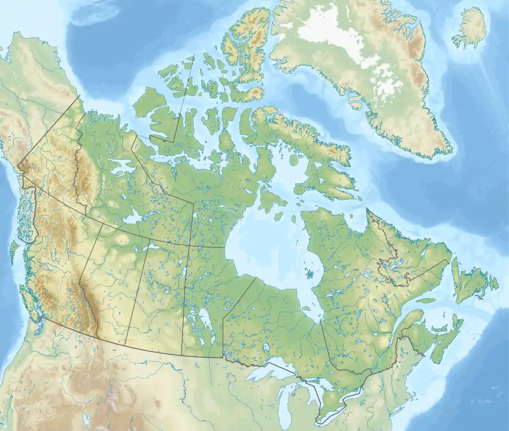 Aetna Aetna (Canada) | |
| Coordinates: 49°08′02″N 113°14′24″W | |
| Country | Canada |
| Province | Alberta |
| Region | Southern Alberta |
| Census division | 3 |
| Municipal district | Cardston County |
| Government | |
| • Type | Unincorporated |
| • Governing body | Cardston County Council |
| Area | |
| • Land | 0.95 km2 (0.37 sq mi) |
| Population (2016)[1] | |
| • Total | 113 |
| Time zone | UTC−07:00 (MST) |
| • Summer (DST) | UTC−06:00 (MDT) |
| Area code(s) | 403, 587, 825 |
Settlement of Aetna began in 1888.[3] The community was named in 1893 after Mount Etna.[4]
Demographics
As a designated place in the 2016 Census of Population conducted by Statistics Canada, Aetna recorded a population of 113 living in 31 of its 33 total private dwellings, a change of 50.7% from its 2011 population of 75. With a land area of 0.95 km2 (0.37 sq mi), it had a population density of 118.9/km2 (308.1/sq mi) in 2016.[1]
References
- "Population and dwelling counts, for Canada, provinces and territories, and designated places, 2016 and 2011 censuses – 100% data (Alberta)". Statistics Canada. February 8, 2017. Retrieved February 13, 2017.
- "Specialized and Rural Municipalities and Their Communities" (PDF). Alberta Municipal Affairs. January 6, 2021. Retrieved September 29, 2021.
- The Utah Genealogical and Historical Magazine, Volumes 9-10. 1918. p. 8.
- Shaw, Keith (1978). Chief mountain country : a history of Cardston and district. Volume I. Cardston: Cardston and District Historical Society. p. 53. ISBN 0-919213-89-8. Archived from the original on June 15, 2013.
- Fifth Census of Canada, 1911 (PDF). Special Report on Area and Population. Dominion Bureau of Statistics. February 27, 1912. Retrieved November 29, 2021.
- Ninth Census of Canada, 1951 (PDF). SP-7 (Population: Unincorporated villages and hamlets). Dominion Bureau of Statistics. March 31, 1954. Retrieved November 29, 2021.
- Census of Canada, 1956 (PDF). Population of unincorporated villages and settlements. Dominion Bureau of Statistics. October 25, 1957. Retrieved November 29, 2021.
- "Population of unincorporated places of 50 persons and over, 1966 and 1961 (Alberta)". Census of Canada 1966: Population (PDF). Special Bulletin: Unincorporated Places. Bulletin S–3. Ottawa: Dominion Bureau of Statistics. August 1968. Retrieved November 29, 2021.
- "Population of Unincorporated Places of 50 persons and over, 1971 and 1966 (Alberta)". 1971 Census of Canada: Population (PDF). Special Bulletin: Unincorporated Settlements. Bulletin SP—1. Ottawa: Statistics Canada. March 1973. Retrieved November 29, 2021.
- 1981 Census of Canada (PDF). Place name reference list. Western provinces and the Territories. Ottawa: Statistics Canada. May 1983. Retrieved November 29, 2021.
- Census Canada 1986: Population (PDF). Alberta: Population and Dwelling Counts – Provinces and Territories. Statistics Canada. June 1977. pp. 12–1 to 12–2. Retrieved November 29, 2021.
- "Table 16: Population and Dwelling Counts, for Urban Areas, 1991 and 1996 Censuses – 100% Data". 96 Canada (PDF). A National Overview: Population and Dwelling Counts. Ottawa: Statistics Canada. April 1997. p. 184–198. Retrieved November 29, 2021.


.svg.png.webp)

This article is issued from Wikipedia. The text is licensed under Creative Commons - Attribution - Sharealike. Additional terms may apply for the media files.