Eaglesham, Alberta
Eaglesham is a hamlet in northern Alberta, Canada within Birch Hills County,[2] located 6 kilometres (3.7 mi) north of Highway 49, approximately 89 kilometres (55 mi) northeast of Grande Prairie.
Eaglesham | |
|---|---|
  Eaglesham Location of Eaglesham 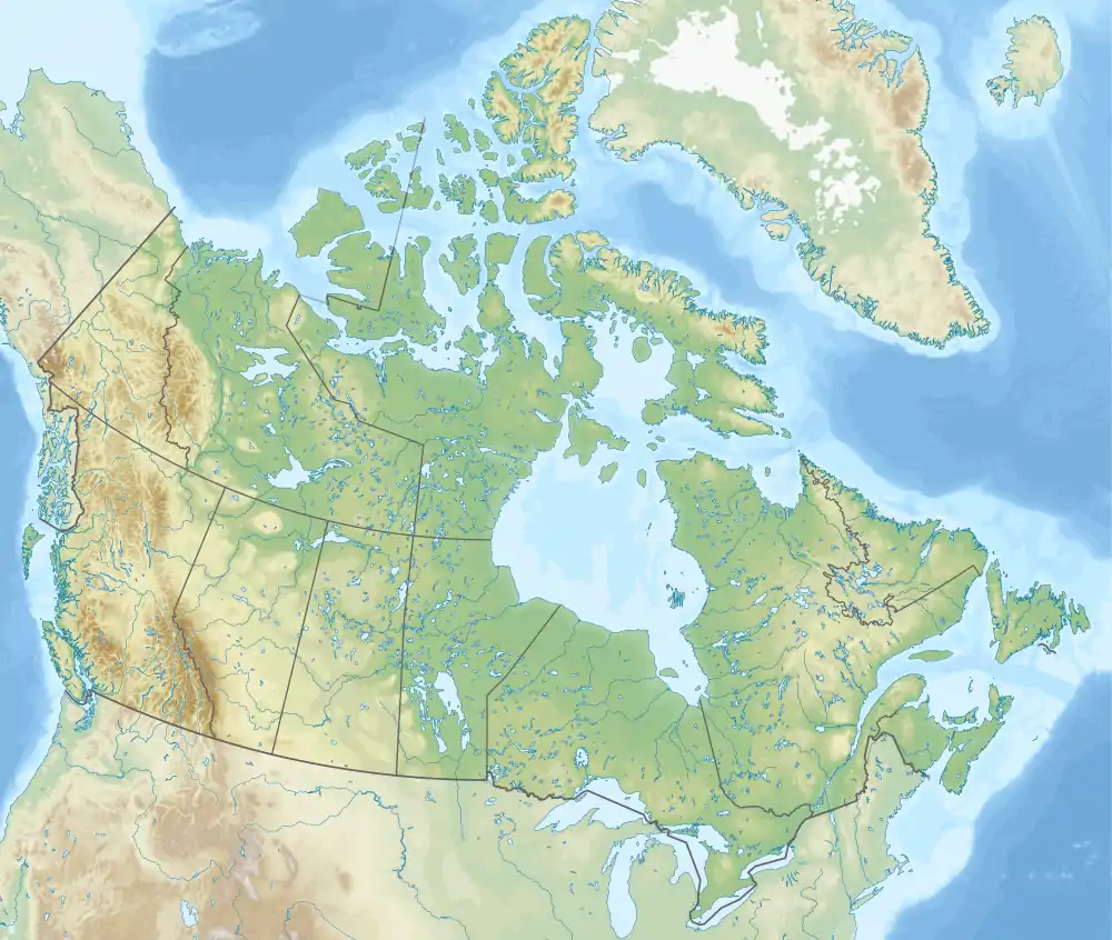 Eaglesham Eaglesham (Canada) | |
| Coordinates: 55°46′57″N 117°53′00″W | |
| Country | Canada |
| Province | Alberta |
| Region | Northern Alberta |
| Census division | 17 |
| Municipal district | Birch Hills County |
| Government | |
| • Type | Unincorporated |
| • Governing body | Birch Hills County Council |
| Area | |
| • Land | 0.84 km2 (0.32 sq mi) |
| Population (2016)[1] | |
| • Total | 93 |
| Time zone | UTC−07:00 (MST) |
| • Summer (DST) | UTC−06:00 (MDT) |
| Area code(s) | 780, 587, 825 |
The hamlet takes its name from Eaglesham in Scotland.[3]
Eaglesham is primarily a farming community. Eaglesham also has a small K-12 school with 80 students.[4]
Demographics
| Year | Pop. | ±% |
|---|---|---|
| 1971 | 218 | — |
| 1976 | 229 | +5.0% |
| 1981 | 208 | −9.2% |
| 1986 | 197 | −5.3% |
| 1991 | 184 | −6.6% |
| 2001 | 147 | −20.1% |
| 2006 | 112 | −23.8% |
| 2011 | 119 | +6.2% |
| 2016 | 93 | −21.8% |
| Source: Statistics Canada [5][6][7][8][9][1] | ||
As a designated place in the 2016 Census of Population conducted by Statistics Canada, Eaglesham recorded a population of 93 living in 50 of its 60 total private dwellings, a change of -21.8% from its 2011 population of 119. With a land area of 0.84 km2 (0.32 sq mi), it had a population density of 110.7/km2 (286.7/sq mi) in 2016.[1]
As a designated place in the 2011 Census, Eaglesham had a population of 119 living in 55 of its 57 total dwellings, a 6.3% change from its 2006 population of 112. With a land area of 0.8 km2 (0.31 sq mi), it had a population density of 149/km2 (385/sq mi) in 2011.[10]
See also
References
- "Population and dwelling counts, for Canada, provinces and territories, and designated places, 2016 and 2011 censuses – 100% data (Alberta)". Statistics Canada. February 8, 2017. Retrieved February 13, 2017.
- "Specialized and Rural Municipalities and Their Communities" (PDF). Alberta Municipal Affairs. January 6, 2021. Retrieved September 29, 2021.
- Place-names of Alberta. Ottawa: Geographic Board of Canada. 1928. p. 46.
- "Archived copy". Archived from the original on June 19, 2011. Retrieved June 8, 2011.CS1 maint: archived copy as title (link)
- "Table 3: Population for census divisions and subdivisions, 1971 and 1976". 1976 Census of Canada. Census Divisions and Subdivisions, Western Provinces and the Territories. Population: Geographic Distributions. Ottawa: Statistics Canada. 1977.
- "Table 2: Census Subdivisions in Alphabetical Order, Showing Population Rank, Canada, 1981". 1981 Census of Canada. Census subdivisions in decreasing population order. Ottawa: Statistics Canada. 1982. ISBN 0-660-51563-6.
- "Table 2: Population and Dwelling Counts, for Census Divisions and Census Subdivisions, 1986 and 1991 – 100% Data". 91 Census. Population and Dwelling Counts – Census Divisions and Census Subdivisions. Ottawa: Statistics Canada. 1992. pp. 100–108. ISBN 0-660-57115-3.
- "Population and Dwelling Counts, for Canada, Provinces and Territories, and Census Divisions, 2001 and 1996 Censuses – 100% Data (Alberta)". Statistics Canada. Retrieved May 25, 2019.
- "Population and dwelling counts, for Canada, provinces and territories, and census subdivisions (municipalities), 2006 and 2001 censuses – 100% data (Alberta)". Statistics Canada. January 6, 2010. Retrieved May 25, 2019.
- "Population and dwelling counts, for Canada, provinces and territories, and designated places, 2011 and 2006 censuses (Alberta)". Statistics Canada. February 8, 2012. Retrieved April 7, 2012.


.svg.png.webp)
