MacKay, Alberta
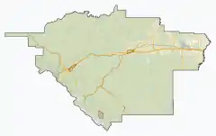
MacKay is a locality in west-central Alberta, Canada within Yellowhead County. It is located on the Yellowhead Highway (Highway 16) approximately 57 km (35 mi) east of Edson.
MacKay | |
|---|---|
Locality | |
  MacKay 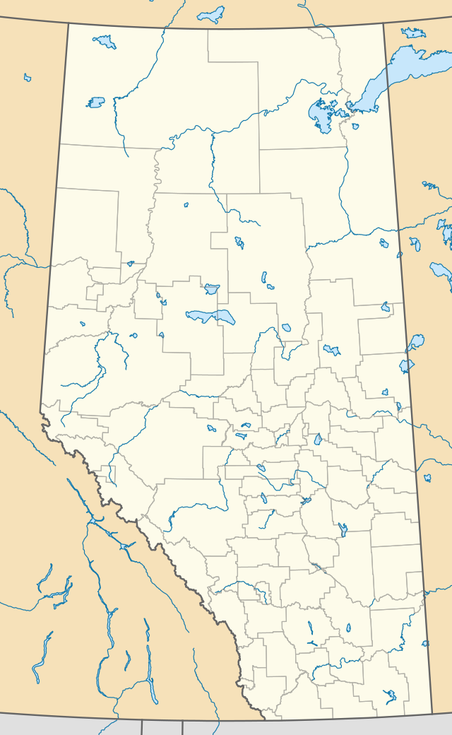 MacKay | |
| Coordinates: 53°38′34″N 115°35′11″W | |
| Country | Canada |
| Province | Alberta |
| Municipal district | Yellowhead County |
| Hamlet designation[1] | May 14, 1979 |
| Hamlet repeal[2] | February 26, 2016 |
| Area | |
| • Total | 0.02 km2 (0.008 sq mi) |
| Population (2016)[3] | |
| • Total | 10 |
| • Density | 500/km2 (1,300/sq mi) |
| Time zone | UTC−7 (MST) |
| • Summer (DST) | UTC−6 (MDT) |
Statistics Canada recognizes MacKay as a designated place.[3] It was designated as a hamlet between 1979 and 2019.
History
MacKay was designated a hamlet by the Government of Alberta on May 14, 1979 for the purpose of accessing street restoration funding.[1] Yellowhead County repealed the hamlet designation on February 26, 2019.[2]
Demographics
As a designated place in the 2016 Census of Population conducted by Statistics Canada, Mackay recorded a population of 10 living in 7 of its 12 total private dwellings, a change of 100% from its 2011 population of 5. With a land area of 0.02 km2 (0.0077 sq mi), it had a population density of 500.0/km2 (1,295.0/sq mi) in 2016.[3]
In the 2011 Census, Mackay had a population of 5 living in 4 of its 4 total dwellings, a −83.3% change from its 2006 population of 30. With a land area of 0.01 km2 (0.0039 sq mi), it had a population density of 500/km2 (1,300/sq mi) in 2011.[4]
References
- "Bylaw 03.19 to Repeal Bylaw 1.79 Establishment of Hamlet Boundaries (MacKay)" (PDF). Yellowhead County. February 26, 2019. Retrieved August 1, 2021.
- "Council Meeting Minutes". Yellowhead County. February 26, 2019. Retrieved August 1, 2021.
- "Population and dwelling counts, for Canada, provinces and territories, and designated places, 2016 and 2011 censuses – 100% data (Alberta)". Statistics Canada. February 8, 2017. Retrieved February 13, 2017.
- "Population and dwelling counts, for Canada, provinces and territories, and designated places, 2011 and 2006 censuses (Alberta)". Statistics Canada. 2012-02-08. Retrieved 2012-04-07.


.svg.png.webp)
